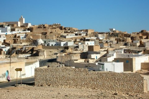
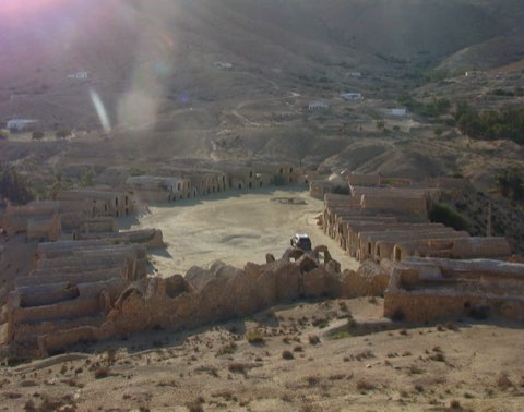
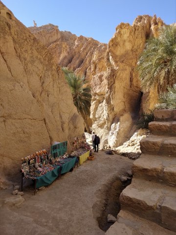
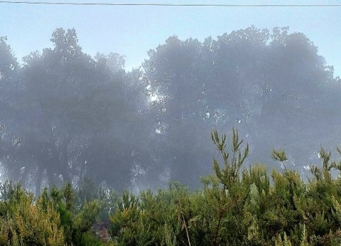
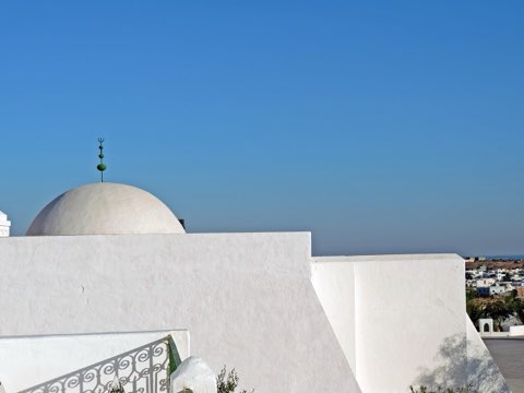
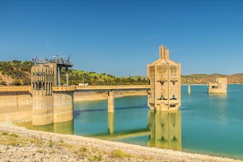
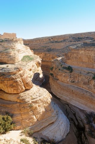
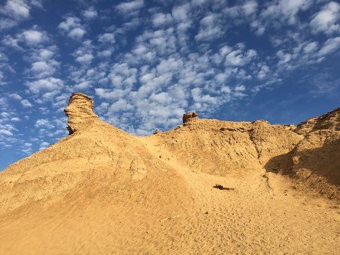
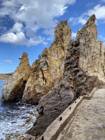
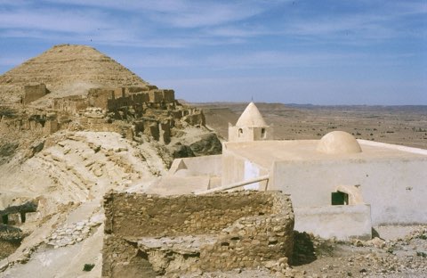
Tabarka Needles and Genoese Fort
- Hike
- Distance
- 5km
- Duration
- 1.8HRS
- Ascent
- 94M
Elevation profile
0-52 M / TERRAIN TILES SAMPLED ALONG THE TRACK
Photographs
Photos: Mourad Ben Abdallah / Wikimedia Commons (CC BY-SA 4.0), T-Houda86 (CC BY-SA 4.0), Eman Jaradat (CC BY-SA 4.0)
Start point
- Car
- About 175 km west of Tunis via Beja and Nefza (about 3 h); park in town.
- Louage
- Louage from Tunis Bab Saadoun station to Tabarka (verify locally).
- Bus / train
- Train Tunis-Jendouba, then louage Jendouba-Tabarka; SNTRI buses also run Tunis-Tabarka.
Nearby
The trail
A short seafront walk from the Needles rock stacks to the Genoese fort on the Tabarka peninsula and back along the corniche.
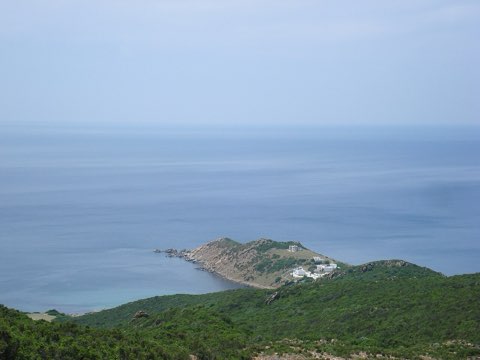
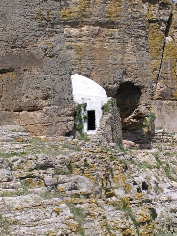
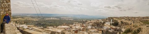
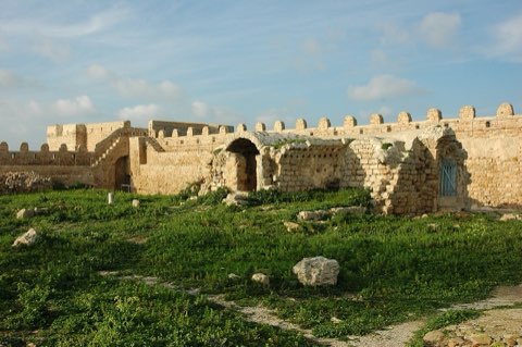
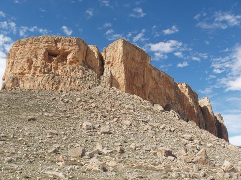
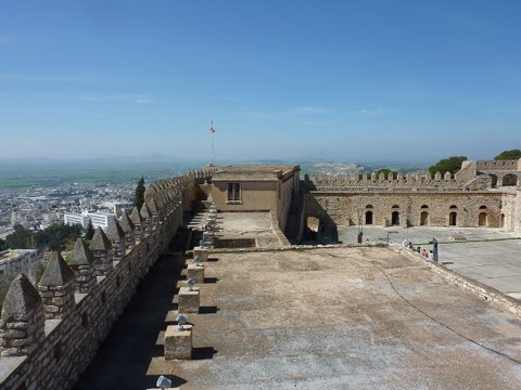
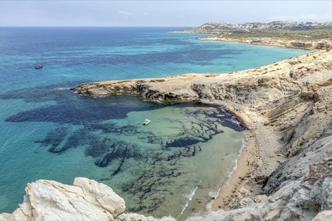
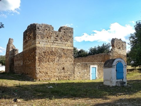
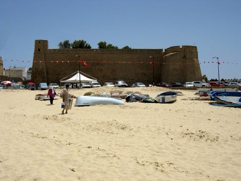
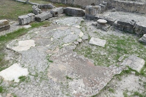
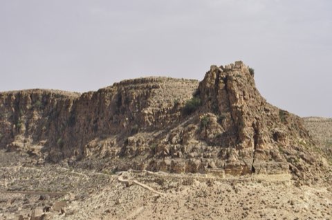
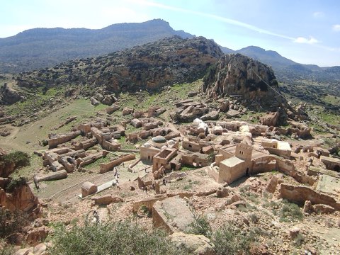
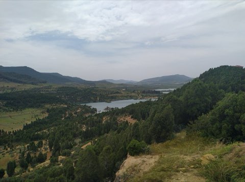
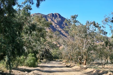
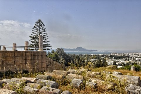
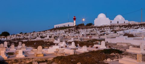
Tabarka sits where the cork-oak hills of Kroumirie meet the sea, and its corniche runs past Les Aiguilles, a row of eroded sandstone needles standing on the shore. The path climbs onto the former island, now joined to the mainland by a causeway, to the fort built in the 16th century by the Genoese Lomellini family, who held Tabarka for about two centuries as a red-coral trading post. From the ramparts there are views over the port, the bay and the forested coast toward the Algerian border.
- Les Aiguilles sandstone needles
- 16th-century Genoese fort
- Causeway to the former island
- Red-coral trading history
Weather and season
- SEASON
- Year-round; best Apr-Jun and Sep-Oct
| Month | Average high | Average low | Rainfall |
|---|---|---|---|
| January | 14.8 C | 9.8 C | 194 mm |
| February | 14.8 C | 9.3 C | 200 mm |
| March | 17 C | 10.7 C | 154 mm |
| April | 20 C | 12.9 C | 84 mm |
| May | 22.5 C | 15.5 C | 66 mm |
| June | 27 C | 19.3 C | 19 mm |
| July | 30.3 C | 22.3 C | 5 mm |
| August | 30.9 C | 23 C | 21 mm |
| September | 27.5 C | 21 C | 65 mm |
| October | 24.3 C | 18.1 C | 105 mm |
| November | 19.6 C | 14.1 C | 210 mm |
| December | 16.1 C | 11.4 C | 182 mm |
Monthly normals 2011-2020 at the start point, from Open-Meteo (CC BY 4.0). Shaded months are the season this trail is listed for.
Practical
- Water
- Cafes and shops in town.
- Guide
- not needed
- Hazards
- Slippery rocks near the needles in rough sea; summer heat.
- Route
- Approximate line along mapped paths between verified waypoints. Follow a guide or a GPS track on the ground.
Go with a guide
These operators and clubs organise guided hikes in Tunisia:
- WildyNessTunisian booking platform for guided hikes with local guides (Cap Blanc, Mides, Selja, Dahar, El Haouaria), several with GPS downloads.
- Association Tunisienne des RandonneursHiking association in Tunis that runs and writes up group hikes across the country.
- Mosaic North AfricaTour operator offering custom hiking trips, including the Chebika, Tamerza and Mides oases.
- Destination DaharPublishes the official topoguide (12 stages, 194 km) of the Grande Traversee du Dahar.
- Grand Sahara AventuresDjerba-based operator running Berber village and desert treks in the south.
- Destination TunisTunis-based guide publishing and leading day hikes around Tunis and Cap Bon.