Nefta Corbeille Rim
- Hike
- Distance
- 2.3km
- Duration
- 1.5HRS
- Ascent
- 18M
Elevation profile
84-104 M / TERRAIN TILES SAMPLED ALONG THE TRACK
Photographs
Photos: Habib M'henni (CC BY-SA 4.0), Zeinebtakouti (CC BY-SA 4.0)
Start point
- Car
- About 25 km west of Tozeur.
- Louage
- Louage from Tozeur to Nefta (verify locally).
Nearby
The trail
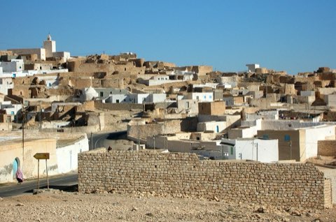
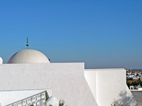
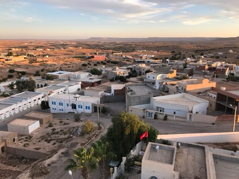
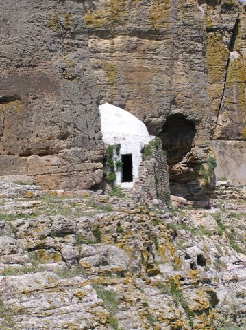
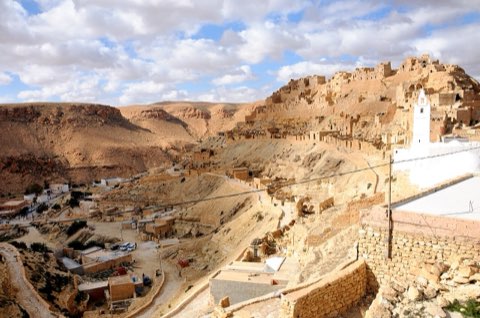
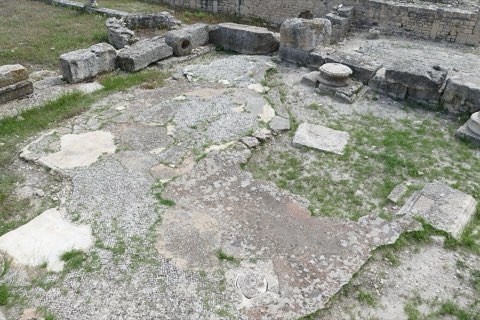
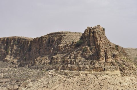
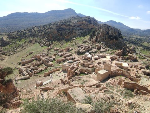
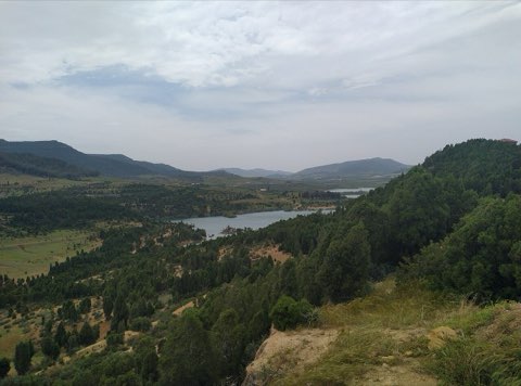
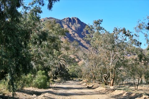
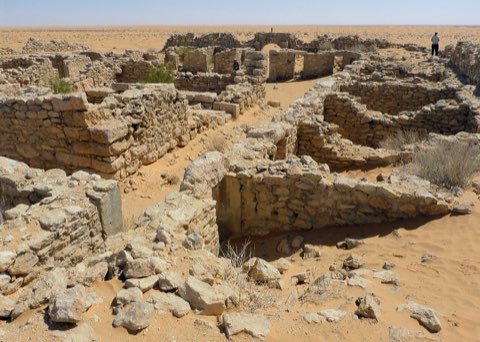
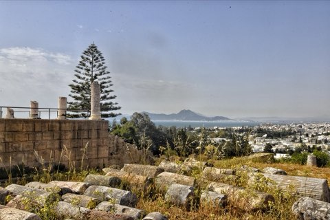
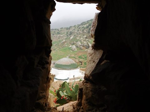
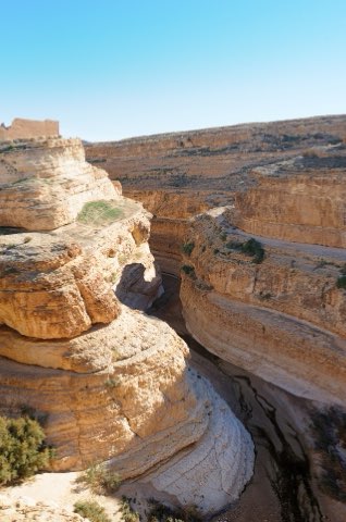
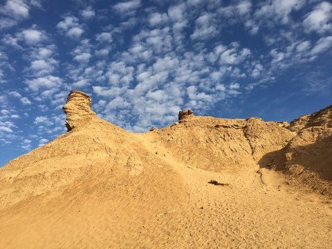
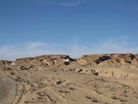
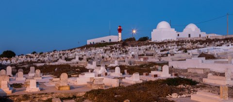
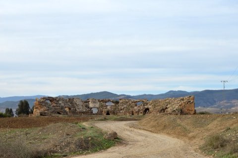
A walk round the rim of the Corbeille, the palm-filled hollow at the heart of Nefta, ringed with the domes of its Sufi shrines.
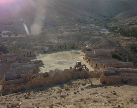
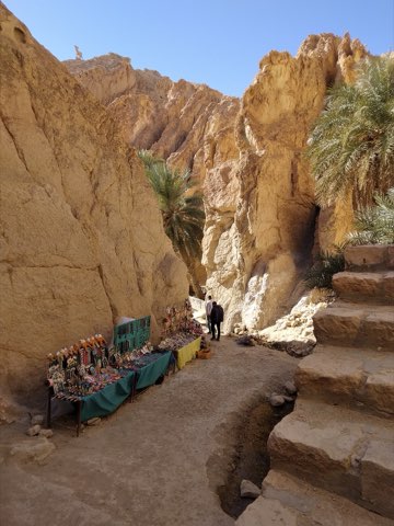
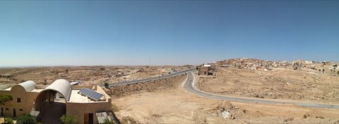
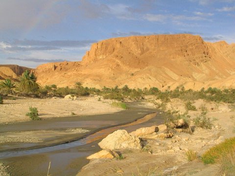
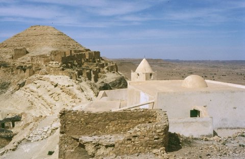
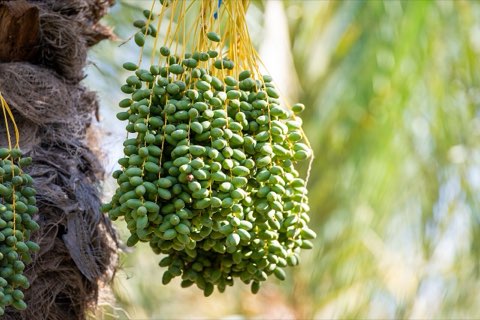
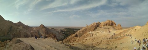
The Corbeille, the basket, is a natural amphitheatre in the middle of Nefta, a hollow once fed by more than a hundred springs and filled with palms. Its rim is lined with the domed shrines that made Nefta one of the great Sufi centres of North Africa. The springs have weakened and the basin is less green than it was, but the loop around the edge at the end of the day, with the domes and minarets against the palms, is still one of the defining views of the Djerid.
- Palm-filled hollow of the Corbeille
- Sufi shrines and domes
- Ras el Ain springs
- Evening light over the palms
Weather and season
- SEASON
- October to April; golden hour for the view
| Month | Average high | Average low | Rainfall |
|---|---|---|---|
| January | 16.3 C | 5 C | 4 mm |
| February | 17.9 C | 6.3 C | 8 mm |
| March | 22 C | 10 C | 13 mm |
| April | 27.5 C | 14.6 C | 10 mm |
| May | 31.9 C | 18.8 C | 4 mm |
| June | 36.5 C | 23.1 C | 1 mm |
| July | 39.6 C | 25.8 C | 0 mm |
| August | 38.5 C | 25.7 C | 2 mm |
| September | 34.7 C | 23 C | 5 mm |
| October | 28.7 C | 17.4 C | 8 mm |
| November | 21.7 C | 11 C | 10 mm |
| December | 16.8 C | 6.4 C | 6 mm |
Monthly normals 2011-2020 at the start point, from Open-Meteo (CC BY 4.0). Shaded months are the season this trail is listed for.
Practical
- Water
- Cafes on the rim.
- Guide
- not needed
- Hazards
- Crumbly edges above the hollow.
- Route
- Approximate line along mapped paths between verified waypoints. Follow a guide or a GPS track on the ground.
Go with a guide
These operators and clubs organise guided hikes in Tunisia:
- WildyNessTunisian booking platform for guided hikes with local guides (Cap Blanc, Mides, Selja, Dahar, El Haouaria), several with GPS downloads.
- Association Tunisienne des RandonneursHiking association in Tunis that runs and writes up group hikes across the country.
- Mosaic North AfricaTour operator offering custom hiking trips, including the Chebika, Tamerza and Mides oases.
- Destination DaharPublishes the official topoguide (12 stages, 194 km) of the Grande Traversee du Dahar.
- Grand Sahara AventuresDjerba-based operator running Berber village and desert treks in the south.
- Destination TunisTunis-based guide publishing and leading day hikes around Tunis and Cap Bon.