

Ksar Guermessa Loop
- Hike
- Distance
- 3.3km
- Duration
- 2HRS
- Ascent
- 193M
Elevation profile
365-483 M / TERRAIN TILES SAMPLED ALONG THE TRACK
Photographs
Photos: Ziegler175 (CC BY-SA 3.0), Majbri wael (CC BY-SA 4.0)
Start point
- Car
- About 20 km west of Tataouine; branch off the Tataouine-Ghomrassen road (RR207).
- Louage
- Louage from Tunis Moncef Bey station to Tataouine (verify locally), then taxi.
Nearby
The trail
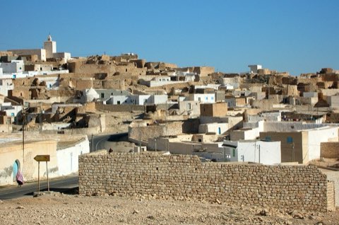
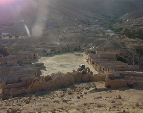
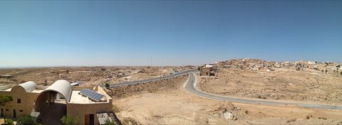
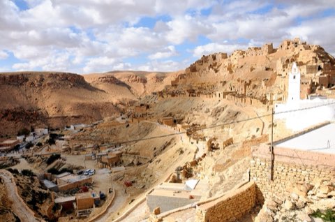
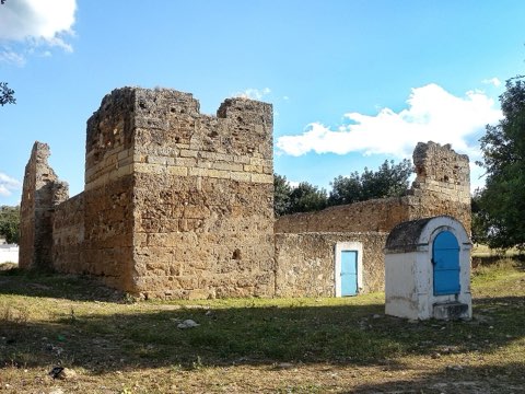
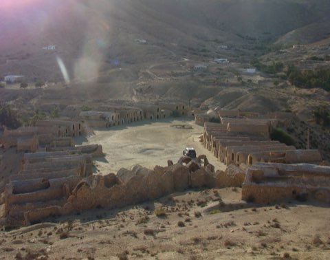
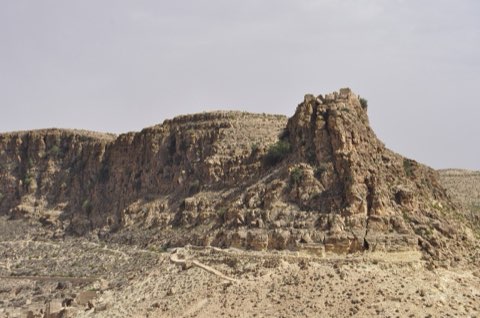
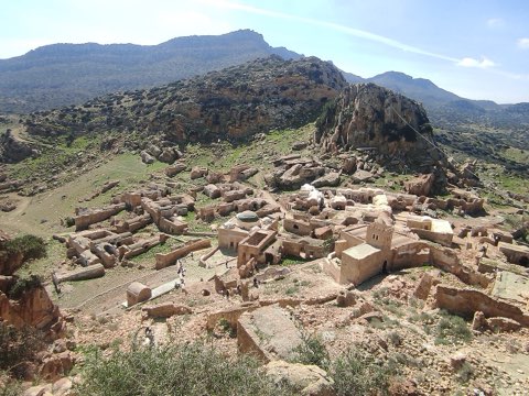
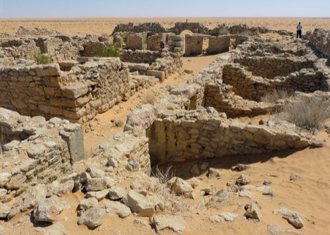
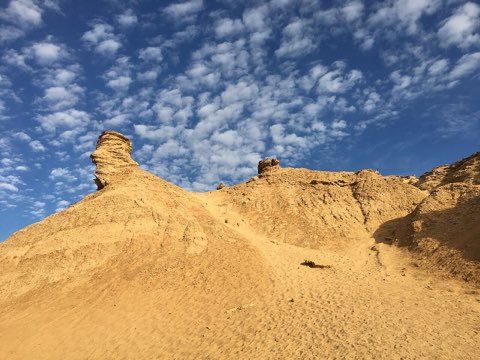
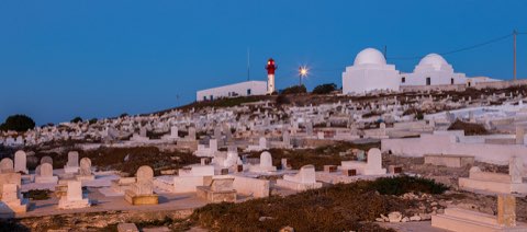
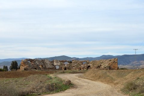
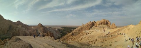
A short, steep loop up to the abandoned troglodyte citadel of Guermessa on a Dahar peak.
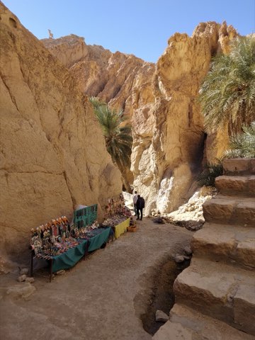
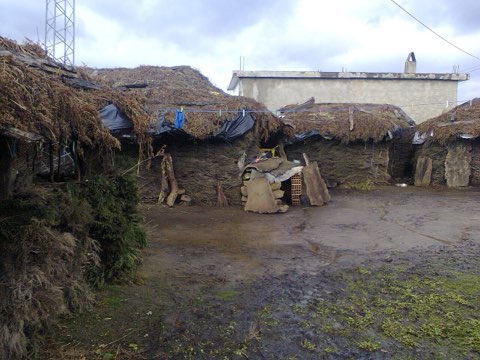
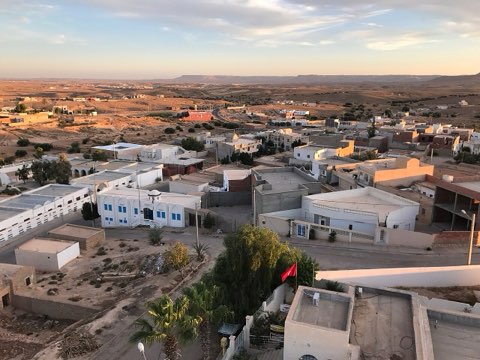
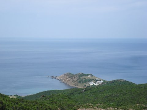
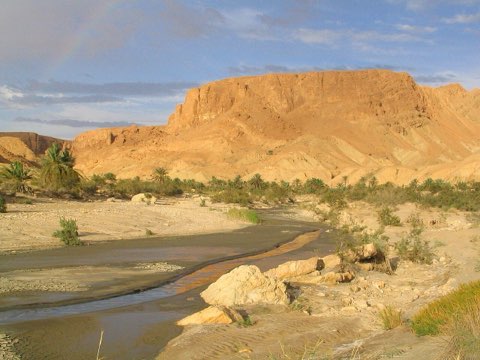
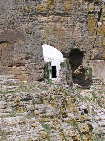
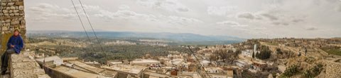
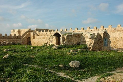
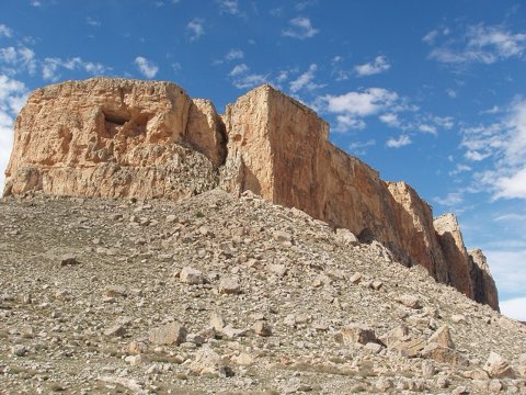
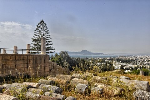
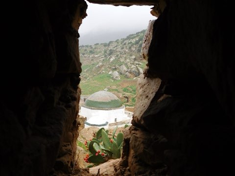
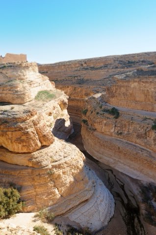
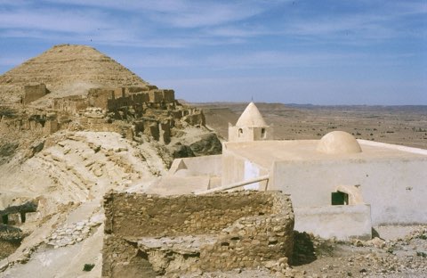
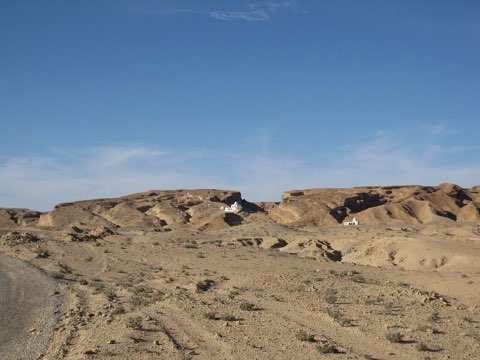
Guermessa is an abandoned Berber village, both ksar and troglodyte settlement, built on a steep peak of the Dahar cuesta about 20 km from Tataouine. Its dwellings are partly carved into the rock beneath a crest-top granary and mosque, and the site is thought to be seven to eight centuries old. The loop climbs from the modern village to the ruins and the ridge, with views along the escarpment toward Ghomrassen.
- Crest-top ksar and mosque
- Rock-cut dwellings
- Dahar cuesta views
- Very quiet site
Weather and season
- SEASON
- Oct-Apr
| Month | Average high | Average low | Rainfall |
|---|---|---|---|
| January | 15.1 C | 6.1 C | 6 mm |
| February | 16.6 C | 7 C | 12 mm |
| March | 20.6 C | 9.8 C | 16 mm |
| April | 25.7 C | 13.3 C | 10 mm |
| May | 29 C | 16.4 C | 4 mm |
| June | 33 C | 19.9 C | 2 mm |
| July | 35.9 C | 22.3 C | 1 mm |
| August | 35.2 C | 22.6 C | 1 mm |
| September | 32.7 C | 21.4 C | 7 mm |
| October | 27.2 C | 17.4 C | 12 mm |
| November | 20.8 C | 12 C | 18 mm |
| December | 15.9 C | 7.7 C | 11 mm |
Monthly normals 2011-2020 at the start point, from Open-Meteo (CC BY 4.0). Shaded months are the season this trail is listed for.
Practical
- Water
- None on site; carry 1.5 L.
- Guide
- recommended
- Hazards
- Crumbling ruins and steep drops.
- Route
- Approximate line along mapped paths between verified waypoints. Follow a guide or a GPS track on the ground.
Go with a guide
These operators and clubs organise guided hikes in Tunisia:
- WildyNessTunisian booking platform for guided hikes with local guides (Cap Blanc, Mides, Selja, Dahar, El Haouaria), several with GPS downloads.
- Association Tunisienne des RandonneursHiking association in Tunis that runs and writes up group hikes across the country.
- Mosaic North AfricaTour operator offering custom hiking trips, including the Chebika, Tamerza and Mides oases.
- Destination DaharPublishes the official topoguide (12 stages, 194 km) of the Grande Traversee du Dahar.
- Grand Sahara AventuresDjerba-based operator running Berber village and desert treks in the south.
- Destination TunisTunis-based guide publishing and leading day hikes around Tunis and Cap Bon.