Matmata to Zammour via Ksar Hallouf (MTB)
- Bike
- Distance
- 45km
- Duration
- 5HRS
- Ascent
- 600M
Elevation profile
363-590 M / TERRAIN TILES SAMPLED ALONG THE TRACK
Photographs
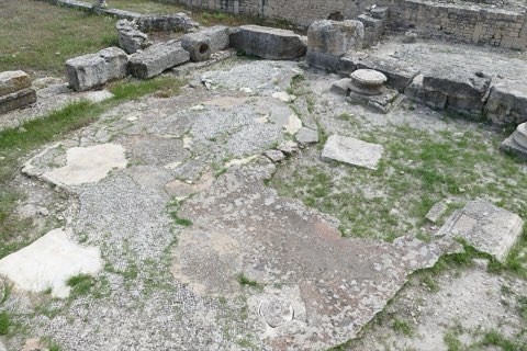
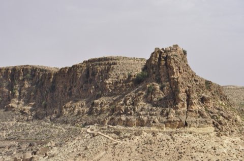
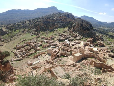
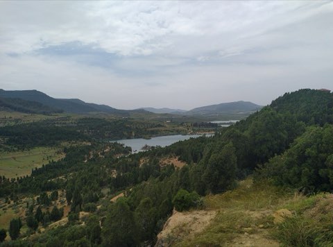
Photos: Largoplazo (CC BY-SA 3.0), TOUMOU (CC BY-SA 4.0), Robert Linsdell from St. Andrews, Canada (CC BY 2.0)
Start point
- Car
- Matmata is 45 km from Gabes and about 6 h from Tunis.
- Louage
- Louage from Tunis Moncef Bey station to Gabes (verify locally), then louage to Matmata.
- Bus / train
- SNCFT train Tunis-Gabes, then louage.
Nearby
The trail
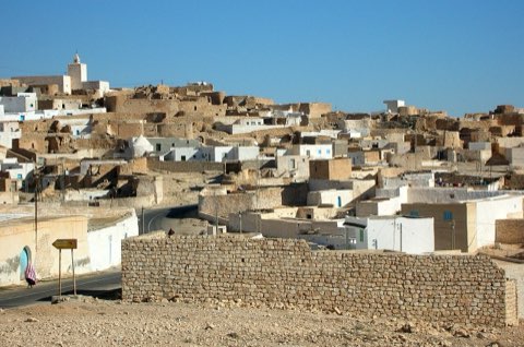
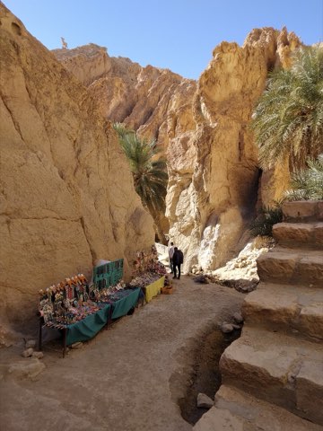
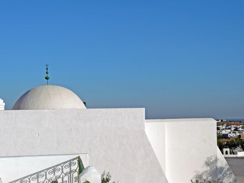
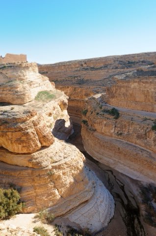
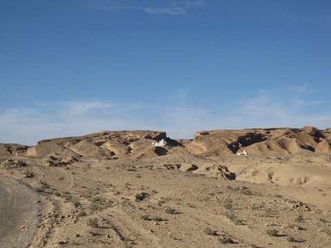
A mountain-bike stage on pistes across the Djebel Mogor from Matmata to the Berber village of Zammour, stopping at the fortified granaries of Ksar Hallouf.
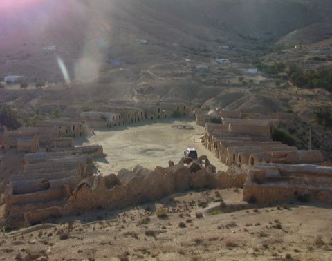
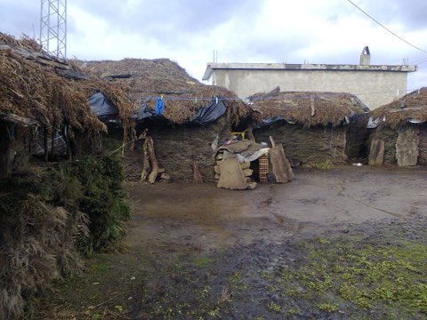
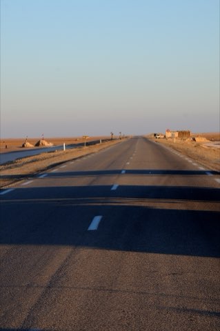
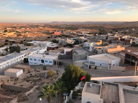
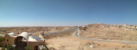
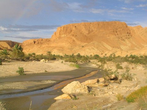
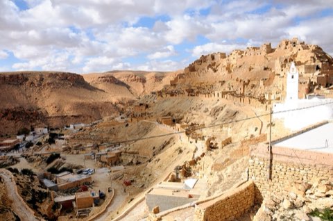
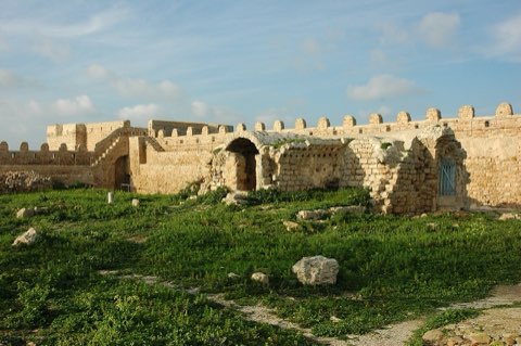
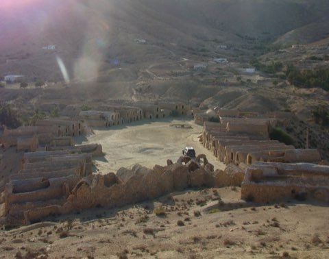
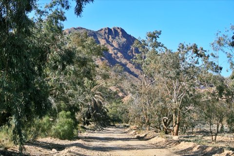
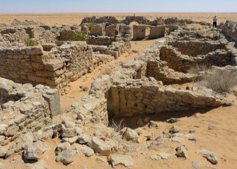
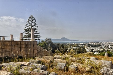
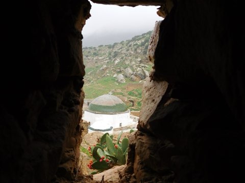
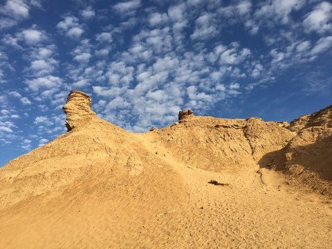
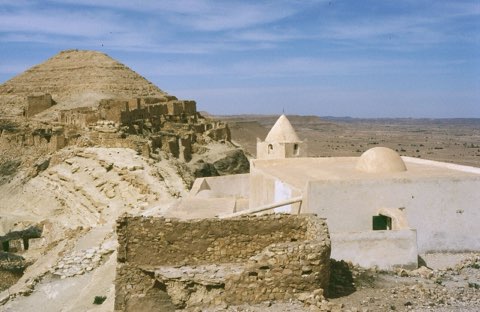
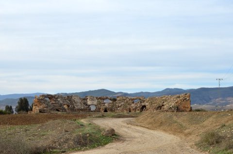
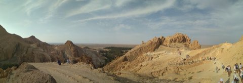
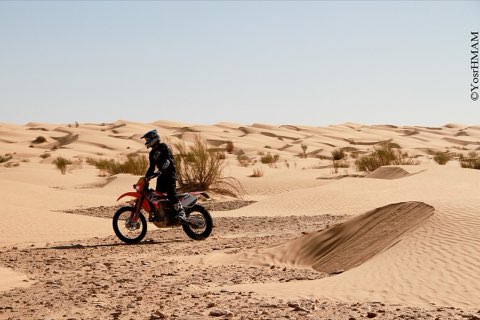
This stage comes from a guided mountain-bike tour of the Dahar and links two Berber strongholds of the southern hills. From Matmata, known for its pit dwellings, the route crosses the Djebel Mogor on pistes and reaches Ksar Hallouf, a ksar of stacked vaulted granaries (ghorfas) on a hilltop near Beni Kheddache, before the short last leg to Zammour, a village with an old hilltop ksar. The tour lists the stage at 45 km with about 600 m of climbing. Much of it is on unpaved tracks that are not all mapped, so the line drawn here follows the nearest known roads and tracks and may run longer; ride it with a local guide or a GPS track from one. The tour ends the day with a night in a troglodyte house.
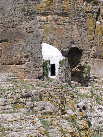
- Pit dwellings of Matmata
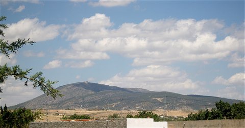
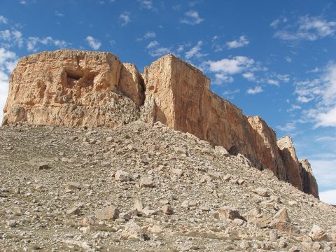
- Crossing of the Djebel Mogor on pistes
- Ghorfa granaries of Ksar Hallouf
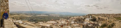
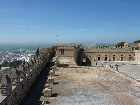
- Hilltop ksar of Zammour
Weather and season
- SEASON
- October to April
| Month | Average high | Average low | Rainfall |
|---|---|---|---|
| January | 14.3 C | 6 C | 11 mm |
| February | 15.7 C | 6.7 C | 17 mm |
| March | 19.6 C | 9.4 C | 23 mm |
| April | 24.3 C | 12.8 C | 16 mm |
| May | 27.9 C | 16.3 C | 5 mm |
| June | 32.1 C | 19.9 C | 2 mm |
| July | 35.1 C | 22.7 C | 1 mm |
| August | 34.4 C | 22.9 C | 2 mm |
| September | 31.4 C | 21.3 C | 10 mm |
| October | 26.4 C | 17.1 C | 14 mm |
| November | 19.9 C | 11.7 C | 22 mm |
| December | 15.1 C | 7.4 C | 17 mm |
Monthly normals 2011-2020 at the start point, from Open-Meteo (CC BY 4.0). Shaded months are the season this trail is listed for.
Practical
- Water
- Carry 3 L or more; refill only in villages. Guided tours run with a support vehicle.
- Guide
- recommended
- Hazards
- Remote, rocky and sandy pistes with no phone signal in places; heat; wrong turns on unmarked tracks.
- Route
- Approximate line along mapped paths between verified waypoints. Follow a guide or a GPS track on the ground.
Go with a guide
These operators and clubs organise guided hikes in Tunisia:
- WildyNessTunisian booking platform for guided hikes with local guides (Cap Blanc, Mides, Selja, Dahar, El Haouaria), several with GPS downloads.
- Association Tunisienne des RandonneursHiking association in Tunis that runs and writes up group hikes across the country.
- Mosaic North AfricaTour operator offering custom hiking trips, including the Chebika, Tamerza and Mides oases.
- Destination DaharPublishes the official topoguide (12 stages, 194 km) of the Grande Traversee du Dahar.
- Grand Sahara AventuresDjerba-based operator running Berber village and desert treks in the south.
- Destination TunisTunis-based guide publishing and leading day hikes around Tunis and Cap Bon.