Chott el Djerid Crossing, Kebili to Tozeur
- Bike
PERMIT: NONE FOR THE CAUSEWAY ROAD AND THE ROADSIDE VIEWPOINTS.
- Distance
- 98.9km
- Duration
- 6HRS
- Ascent
- 138M
Elevation profile
10-72 M / TERRAIN TILES SAMPLED ALONG THE TRACK
Photographs
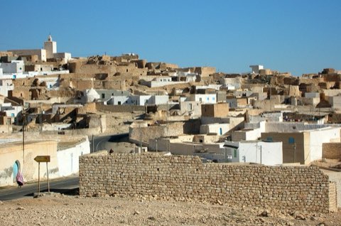
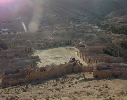
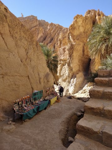
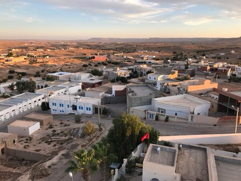
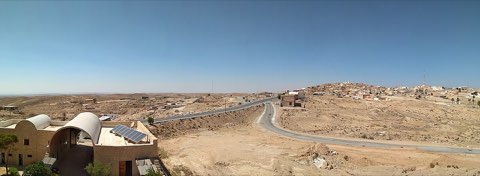
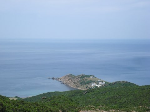
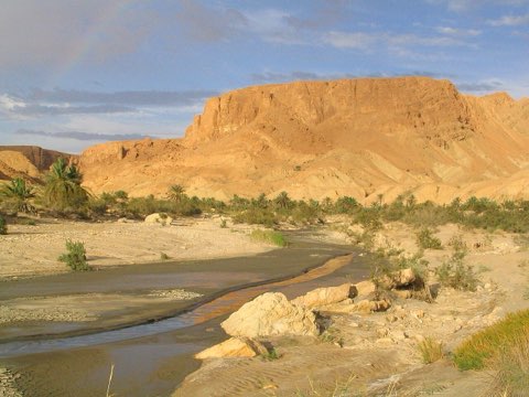
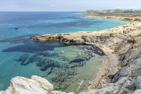
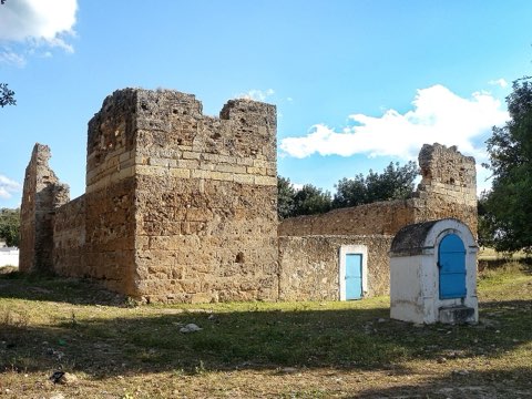
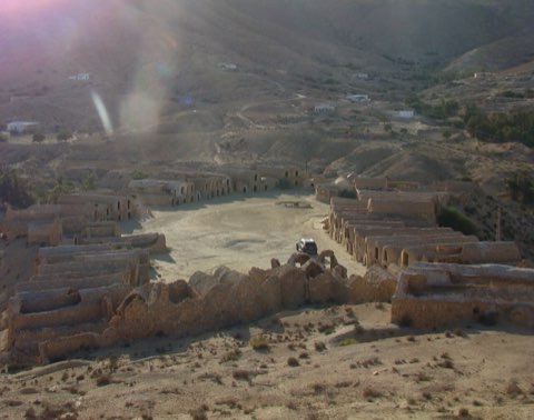
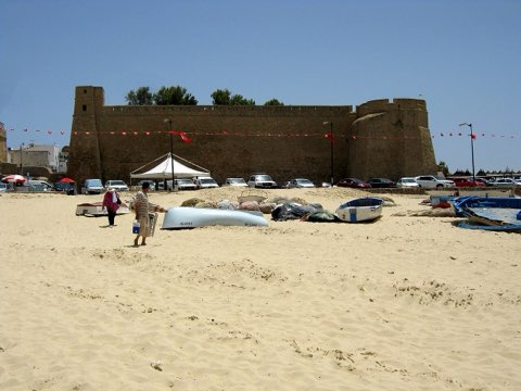
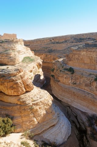
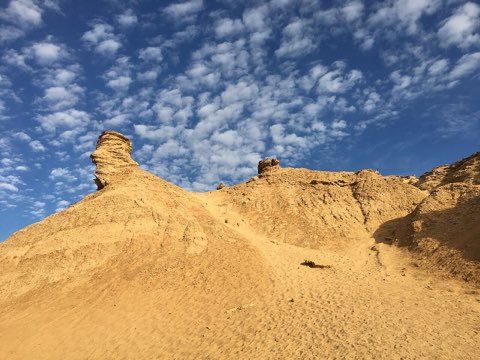
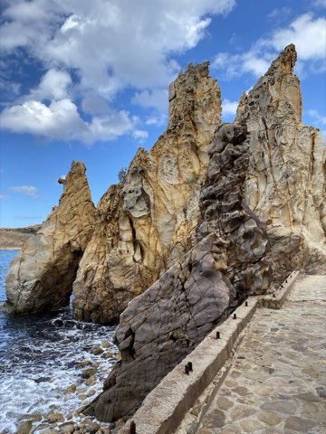
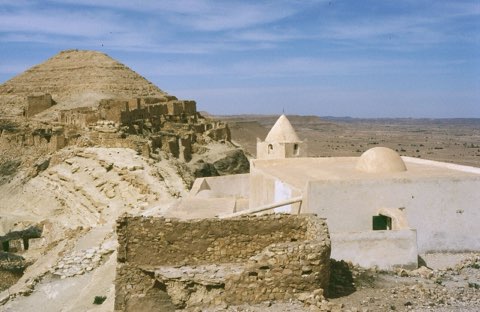
Photos: Josep M. Gracia (CC BY-SA 4.0), Francesco Piraneo G. (CC BY 3.0)
Start point
- Car
- Kebili lies on the main road from Gabes to Tozeur; allow a full day from Tunis.
- Louage
- Louage from Tunis Moncef Bey station or Gabes to Kebili (verify locally).
- Bus / train
- SNTRI buses from Tunis; flights Tunis-Tozeur for the return end.
Nearby
The trail
A long, flat ride from the oases of Nefzaoua across the causeway over the Chott el Djerid salt pan to Degache and Tozeur.
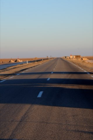
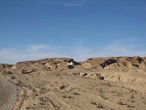
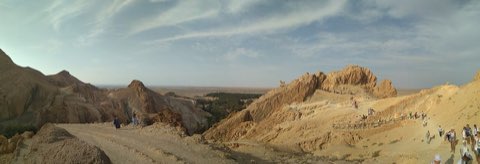
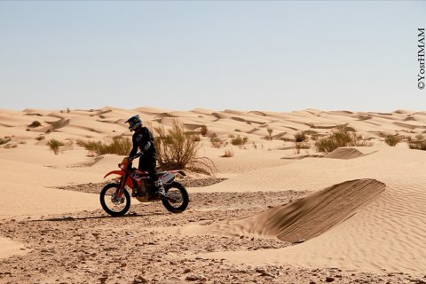
Chott el Djerid is the largest salt pan in the Maghreb, a flat expanse of close to 5,000 square kilometres between the Nefzaoua oases around Kebili and the Djerid oases around Tozeur. The paved road between the two towns runs on a raised causeway straight across it, giving a ride unlike any other in the country: white salt crust, pink brine pools and mirages on both sides, and almost no relief at all. A mapped Kebili-Tozeur route measures 98.9 km with only about 140 m of climbing. The challenge is the distance, the wind and the lack of shade rather than the terrain. The ride passes the palm groves of Souk Lahad before the crossing and arrives in the Djerid at Degache, a few kilometres from Tozeur.
- Causeway straight across the salt pan
- Salt crust, brine pools and mirages
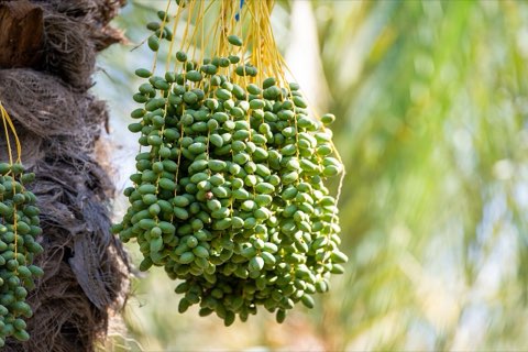
- Palm groves of Nefzaoua and the Djerid
- Almost no climbing in nearly 100 km
Weather and season
- SEASON
- October to April; start early
| Month | Average high | Average low | Rainfall |
|---|---|---|---|
| January | 17.1 C | 5.6 C | 6 mm |
| February | 18.5 C | 6.8 C | 10 mm |
| March | 22.3 C | 10.2 C | 18 mm |
| April | 27.5 C | 14.1 C | 9 mm |
| May | 31.5 C | 17.8 C | 4 mm |
| June | 35.9 C | 21.7 C | 1 mm |
| July | 39.1 C | 24.3 C | 0 mm |
| August | 38.2 C | 24.5 C | 1 mm |
| September | 34.8 C | 22.6 C | 7 mm |
| October | 29.3 C | 17.6 C | 7 mm |
| November | 22.4 C | 11.6 C | 12 mm |
| December | 17.6 C | 7.3 C | 7 mm |
Monthly normals 2011-2020 at the start point, from Open-Meteo (CC BY 4.0). Shaded months are the season this trail is listed for.
Practical
- Water
- Carry at least 3 L; services are few on the causeway, so refill in Kebili, Souk Lahad and Degache.
- Guide
- not needed
- Hazards
- Never ride off the paved road onto the salt: the crust can hide soft mud. Strong crosswinds, heat, glare and no shade; fast traffic on a straight road.
- Route
- Approximate line along mapped paths between verified waypoints. Follow a guide or a GPS track on the ground.
Go with a guide
These operators and clubs organise guided hikes in Tunisia:
- WildyNessTunisian booking platform for guided hikes with local guides (Cap Blanc, Mides, Selja, Dahar, El Haouaria), several with GPS downloads.
- Association Tunisienne des RandonneursHiking association in Tunis that runs and writes up group hikes across the country.
- Mosaic North AfricaTour operator offering custom hiking trips, including the Chebika, Tamerza and Mides oases.
- Destination DaharPublishes the official topoguide (12 stages, 194 km) of the Grande Traversee du Dahar.
- Grand Sahara AventuresDjerba-based operator running Berber village and desert treks in the south.
- Destination TunisTunis-based guide publishing and leading day hikes around Tunis and Cap Bon.