Carthage to Sidi Bou Said
- Hike
- Distance
- 5.7km
- Duration
- 3HRS
- Ascent
- 150M
Elevation profile
3-102 M / TERRAIN TILES SAMPLED ALONG THE TRACK
Photographs
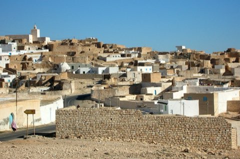
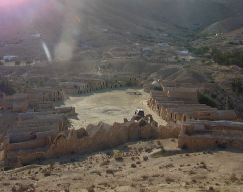
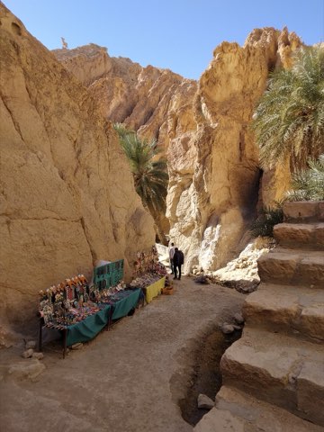
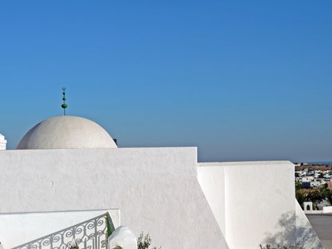
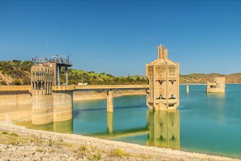
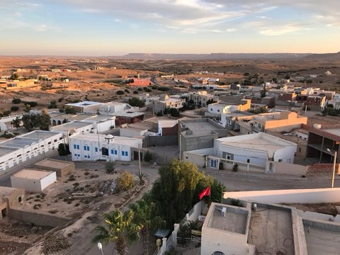
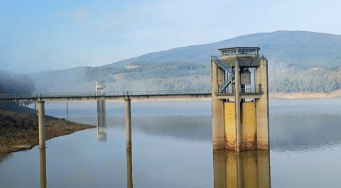
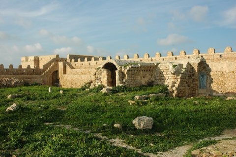
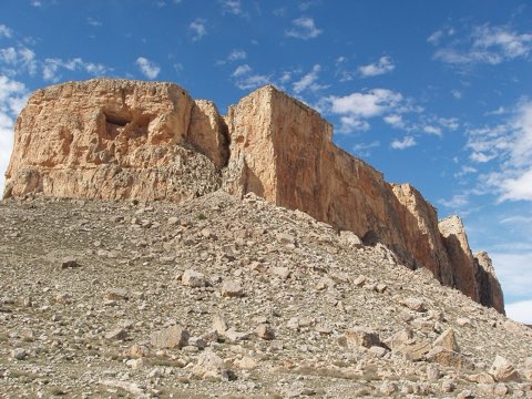
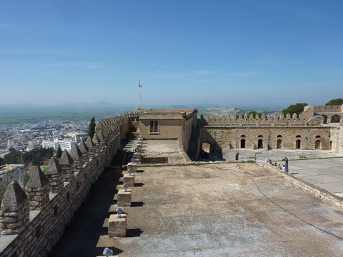
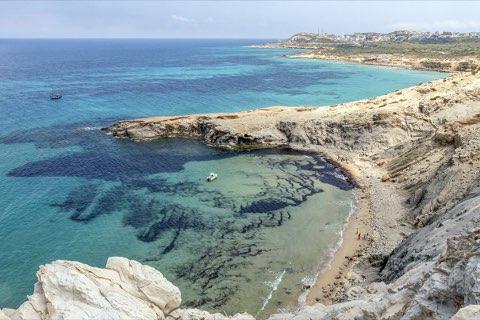
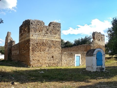
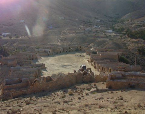
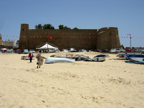
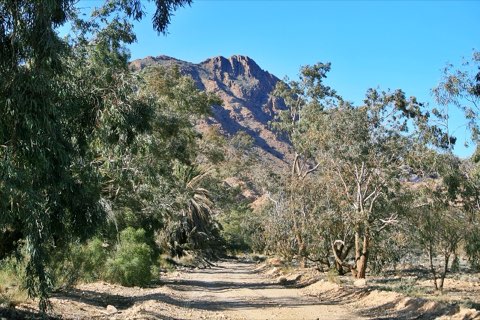
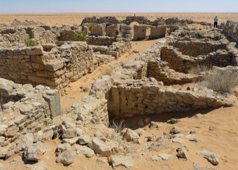
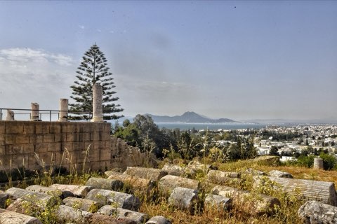
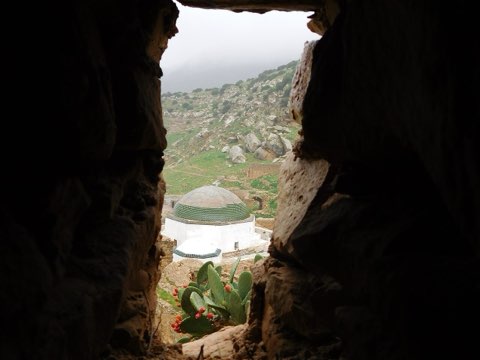
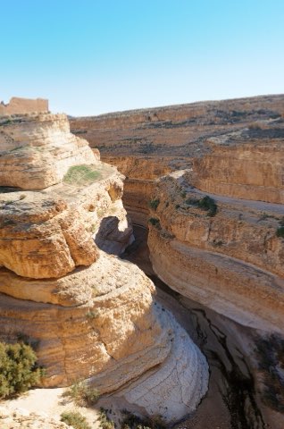
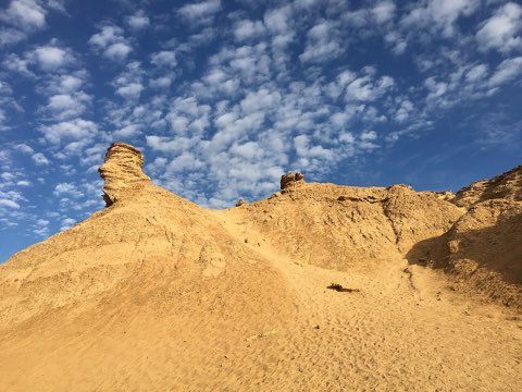
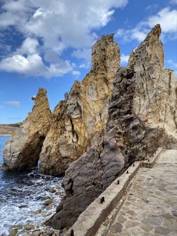
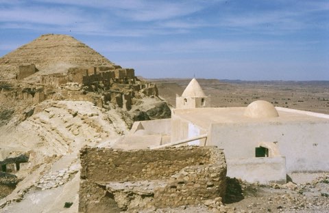
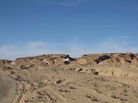
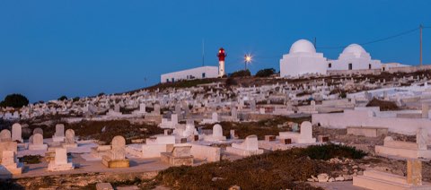
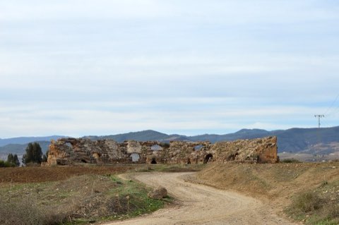
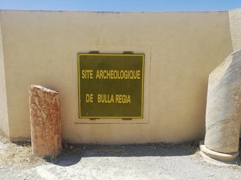
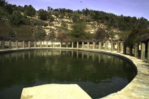
Photos: Noomen9 (CC BY-SA 4.0), Verity Cridland (CC BY 2.0), Habib M'henni (CC BY 4.0)
Start point
- Car
- About 20 min from central Tunis.
- Bus / train
- TGM train from Tunis Marine to Carthage Salammbo; back from Sidi Bou Said station.
Nearby
The trail
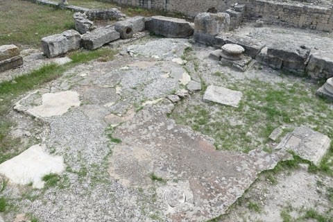
From the Punic ports up Byrsa hill and down to the Antonine baths, then along the coast to the blue and white village of Sidi Bou Said.
Carthage is spread over the suburbs north of Tunis, a UNESCO World Heritage site since 1979. The walk starts at the circular Punic military port, climbs Byrsa hill, the heart of the Punic city, with its excavated houses and the view over the gulf, then drops to the Antonine baths, the largest Roman baths in Africa, on the shore. It finishes with the climb into Sidi Bou Said, whose white walls and blue doors look across the Gulf of Tunis. The TGM train links every stop.
- Punic ports
- Byrsa hill
- Antonine baths
- Sidi Bou Said
Weather and season
- SEASON
- Year-round
| Month | Average high | Average low | Rainfall |
|---|---|---|---|
| January | 15.3 C | 10 C | 42 mm |
| February | 15.3 C | 9.5 C | 50 mm |
| March | 17.2 C | 11.1 C | 59 mm |
| April | 20 C | 13.4 C | 36 mm |
| May | 22.9 C | 15.8 C | 23 mm |
| June | 27.2 C | 19.6 C | 9 mm |
| July | 30.5 C | 22.5 C | 1 mm |
| August | 30.9 C | 23.3 C | 12 mm |
| September | 28 C | 21.8 C | 35 mm |
| October | 24.6 C | 18.8 C | 56 mm |
| November | 20.1 C | 14.7 C | 66 mm |
| December | 16.5 C | 11.5 C | 44 mm |
Monthly normals 2011-2020 at the start point, from Open-Meteo (CC BY 4.0). Shaded months are the season this trail is listed for.
Practical
- Water
- Cafes and shops throughout.
- Guide
- optional
- Permits
- A single Carthage ticket covers the main sites.
- Hazards
- Traffic on the roads between sites.
- Route
- Approximate line along mapped paths between verified waypoints. Follow a guide or a GPS track on the ground.
Go with a guide
These operators and clubs organise guided hikes in Tunisia:
- WildyNessTunisian booking platform for guided hikes with local guides (Cap Blanc, Mides, Selja, Dahar, El Haouaria), several with GPS downloads.
- Association Tunisienne des RandonneursHiking association in Tunis that runs and writes up group hikes across the country.
- Mosaic North AfricaTour operator offering custom hiking trips, including the Chebika, Tamerza and Mides oases.
- Destination DaharPublishes the official topoguide (12 stages, 194 km) of the Grande Traversee du Dahar.
- Grand Sahara AventuresDjerba-based operator running Berber village and desert treks in the south.
- Destination TunisTunis-based guide publishing and leading day hikes around Tunis and Cap Bon.