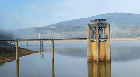
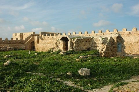
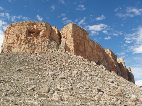
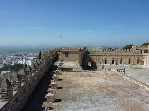
Cap Negro to Zouaraa Coast
- Hike
- Distance
- 13.2km
- Duration
- 6HRS
- Ascent
- 438M
Elevation profile
0-440 M / TERRAIN TILES SAMPLED ALONG THE TRACK
Photographs
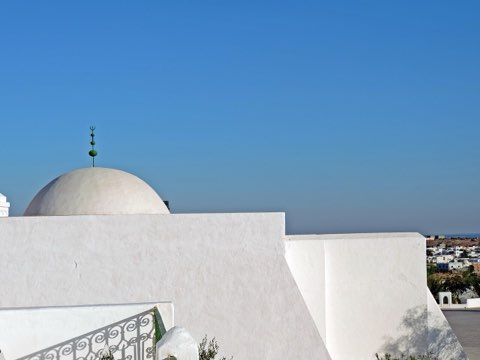
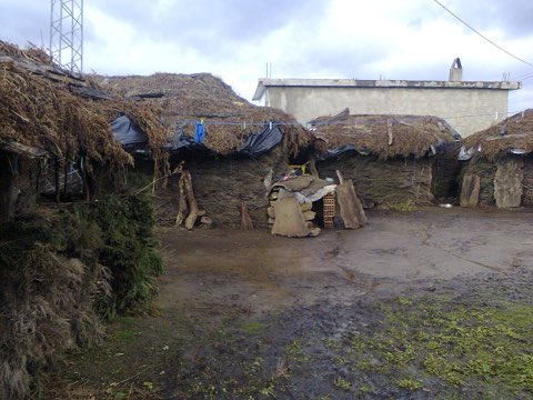
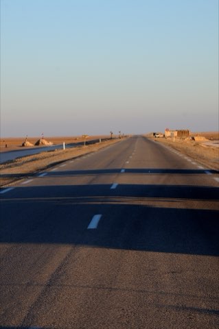
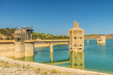
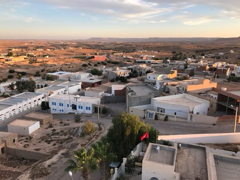
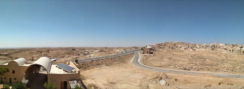
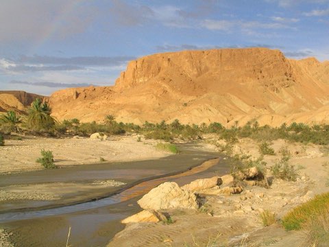
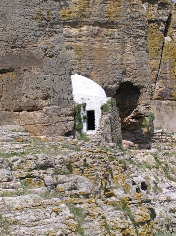
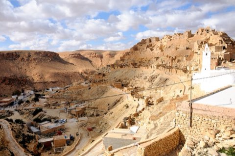
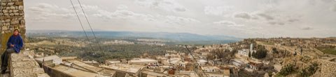
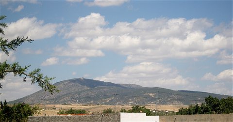
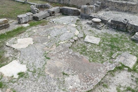
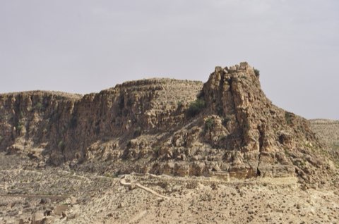
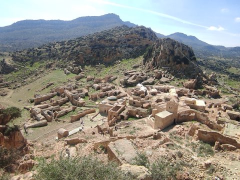
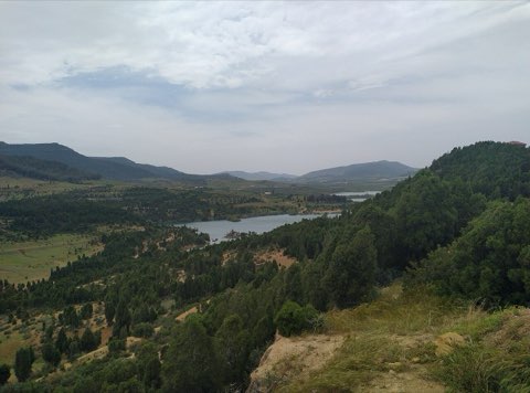
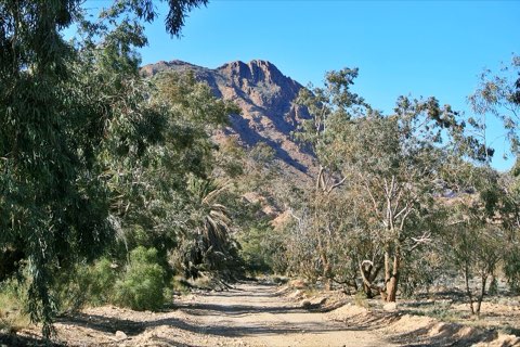
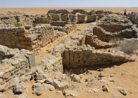
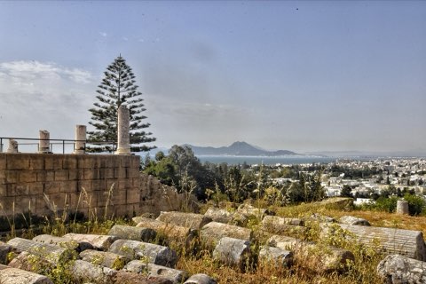
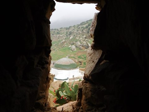
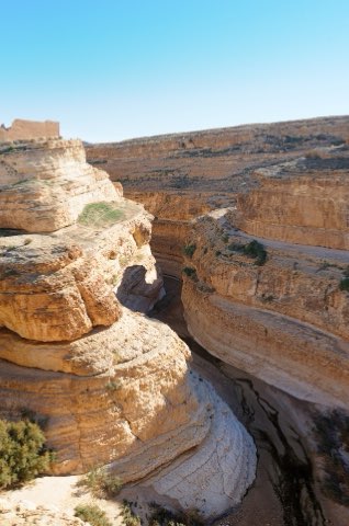
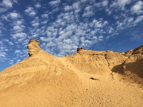
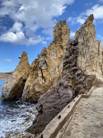
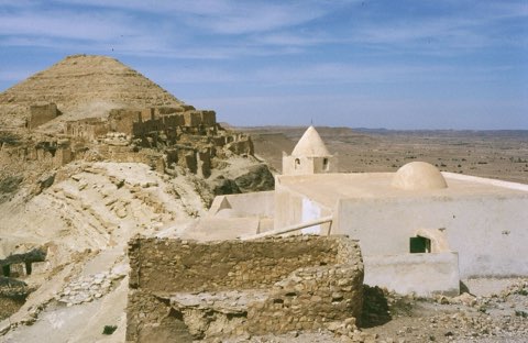
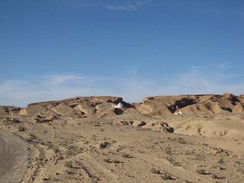
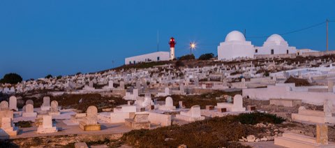
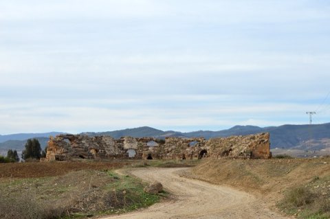
Photos: DrFO.Jr.Tn (CC BY 3.0), Smailtn (CC BY-SA 4.0), Ammarabbassi (CC BY-SA 4.0)
Start point
- Car
- From Nefza take the Cap Negro road north (about 15 km, last part rough). About 3 h from Tunis.
- Louage
- Louage from Tunis Bab Saadoun station to Nefza or Tabarka (verify locally), then local transport or taxi.
The trail
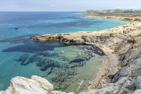
A wild coastal traverse of the Mogods from Cap Negro south-west past empty beaches toward Zouaraa.
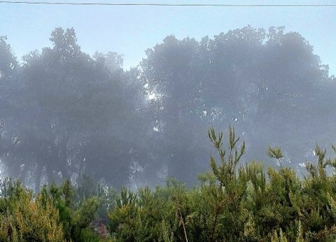
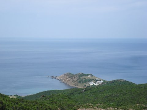
Cap Negro is a dark headland on one of the least developed stretches of the Tunisian coast, about 25 km north-east of Tabarka and 10 km from Nefza. The route follows paths and tracks through maquis, cork oak and pine above a string of coves, with the Jebel Chitana hills inland. It ends near Zouaraa, a long dune-backed beach west of Cap Negro.
- Undeveloped Mogods coastline
- Coves and dune beaches
- Maquis and cork oak
- Jebel Chitana views
Weather and season
- SEASON
- Apr-Jun and Sep-Oct
| Month | Average high | Average low | Rainfall |
|---|---|---|---|
| January | 13.4 C | 8.3 C | 131 mm |
| February | 13.3 C | 7.8 C | 137 mm |
| March | 15.4 C | 9.1 C | 108 mm |
| April | 18.6 C | 11.2 C | 66 mm |
| May | 21.2 C | 13.8 C | 54 mm |
| June | 26 C | 17.7 C | 14 mm |
| July | 29.4 C | 20.8 C | 4 mm |
| August | 30 C | 21.5 C | 16 mm |
| September | 26.4 C | 19.6 C | 48 mm |
| October | 23.2 C | 16.6 C | 83 mm |
| November | 18.3 C | 12.6 C | 148 mm |
| December | 14.7 C | 9.8 C | 127 mm |
Monthly normals 2011-2020 at the start point, from Open-Meteo (CC BY 4.0). Shaded months are the season this trail is listed for.
Practical
- Water
- None; carry 3 L.
- Guide
- recommended
- Hazards
- Remote, no phone signal in places; overgrown paths; arrange a pickup at Zouaraa.
- Route
- Approximate line along mapped paths between verified waypoints. Follow a guide or a GPS track on the ground.
Go with a guide
These operators and clubs organise guided hikes in Tunisia:
- WildyNessTunisian booking platform for guided hikes with local guides (Cap Blanc, Mides, Selja, Dahar, El Haouaria), several with GPS downloads.
- Association Tunisienne des RandonneursHiking association in Tunis that runs and writes up group hikes across the country.
- Mosaic North AfricaTour operator offering custom hiking trips, including the Chebika, Tamerza and Mides oases.
- Destination DaharPublishes the official topoguide (12 stages, 194 km) of the Grande Traversee du Dahar.
- Grand Sahara AventuresDjerba-based operator running Berber village and desert treks in the south.
- Destination TunisTunis-based guide publishing and leading day hikes around Tunis and Cap Bon.