Bou Hedma Acacia Savanna
- Hike
PERMIT: YES. A WRITTEN ENTRY PERMIT FROM THE DIRECTION GENERALE DES FORETS, OR THE REGIONAL FORESTRY COMMISSARIAT, MUST BE OBTAINED BEFORE THE VISIT; IT USUALLY TAKES THREE TO FIVE WORKING DAYS.
- Distance
- 7.9km
- Duration
- 3HRS
- Ascent
- 140M
Listed 7.9 km / drawn track 5.1 km
Elevation profile
119-184 M / TERRAIN TILES SAMPLED ALONG THE TRACK
Photographs
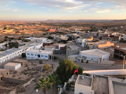
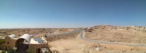
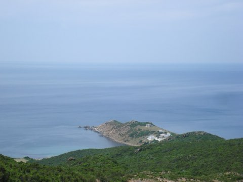
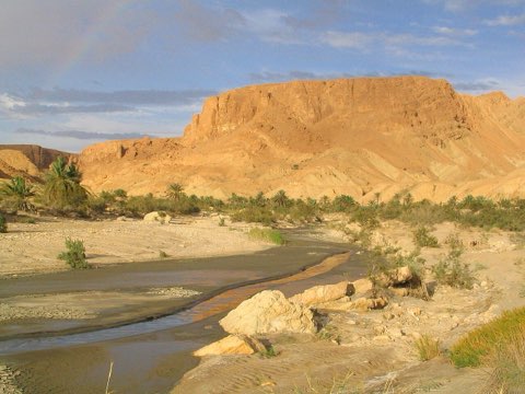
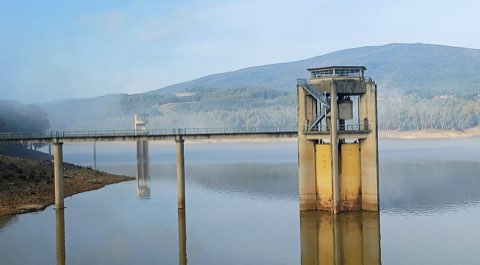
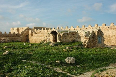
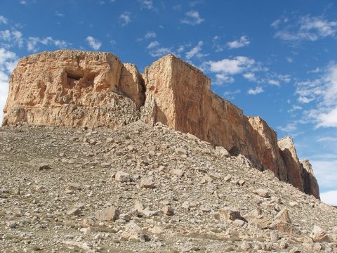
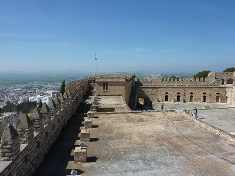
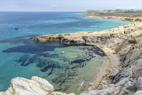
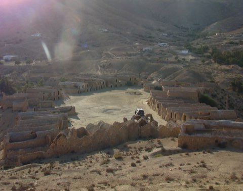
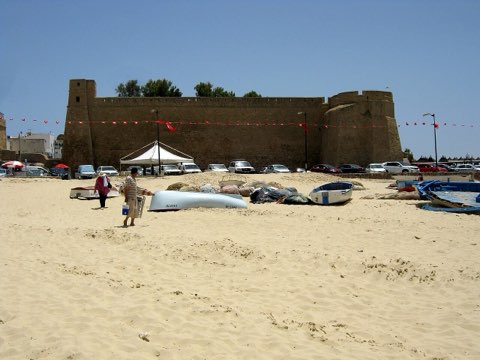
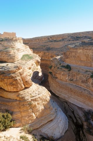
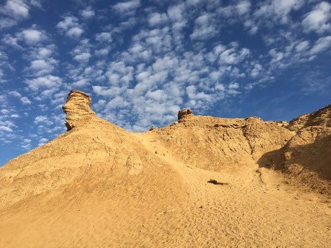
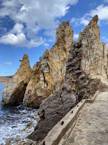
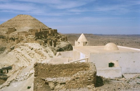
Photos: Slim Alileche (CC BY-SA 4.0), Skander zarrad (CC BY-SA 4.0), Smailtn (CC BY-SA 4.0)
Start point
- Car
- Between Mezzouna and Gafsa; the park entrance is off the Mezzouna-Bou Hedma road. About 4 h 30 from Tunis.
- Louage
- Louage from Tunis Moncef Bey station to Sidi Bouzid or Mezzouna (verify locally), then taxi to the park.
Nearby
The trail
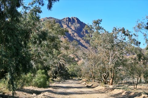
A walk through the last Acacia raddiana savanna of North Africa in Bou Hedma National Park.
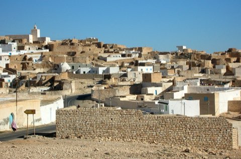
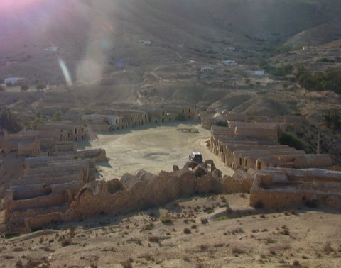
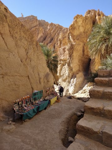
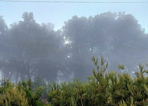
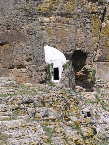
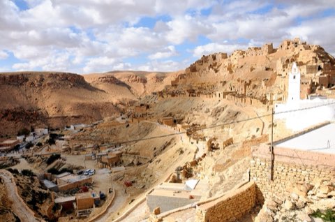
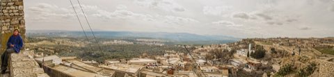
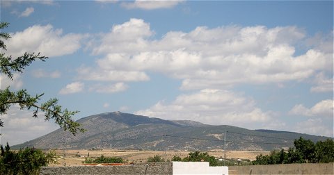
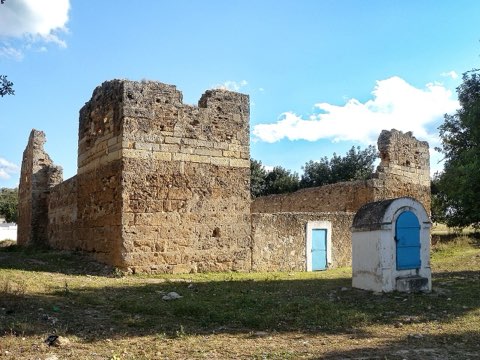
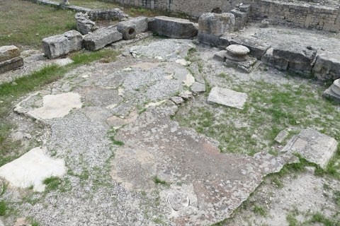
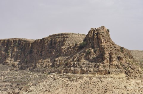
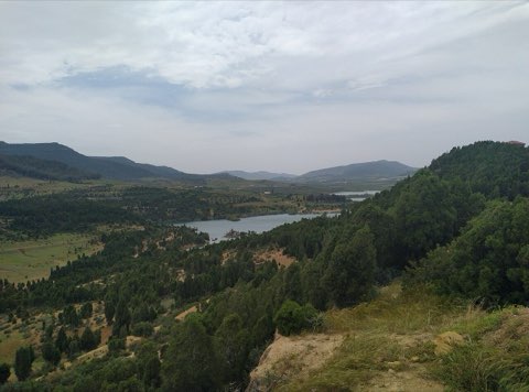
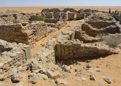
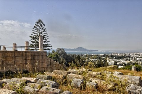
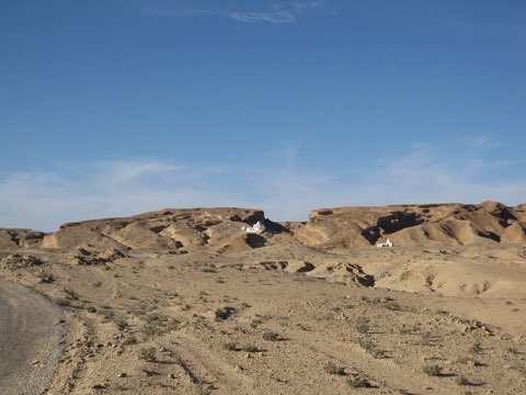
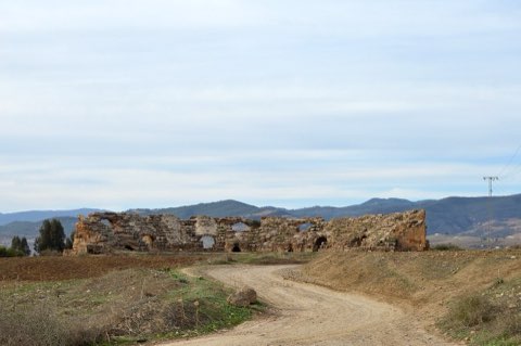
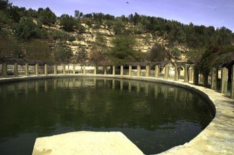
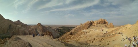
Bou Hedma National Park, created in 1980 and a UNESCO biosphere reserve, protects a relic sub-Saharan savanna of umbrella-shaped Acacia raddiana at the foot of Jebel Bou Hedma. Scimitar oryx, addax, dama gazelle and North African ostrich have been reintroduced in fenced sectors, and dorcas gazelles roam the plains. The area also has Roman remains, including aqueduct traces and pools. The walk follows tracks through the acacia steppe and low hills and ends near the park headquarters.
- Acacia raddiana savanna
- Reintroduced oryx, addax and ostrich
- Dorcas gazelles
- Roman water works
Weather and season
- SEASON
- Oct-Apr
| Month | Average high | Average low | Rainfall |
|---|---|---|---|
| January | 16.8 C | 6.7 C | 11 mm |
| February | 17.8 C | 7.2 C | 18 mm |
| March | 21.1 C | 9.6 C | 29 mm |
| April | 25.4 C | 13 C | 15 mm |
| May | 29.3 C | 16.5 C | 7 mm |
| June | 33.9 C | 20.2 C | 2 mm |
| July | 36.5 C | 23 C | 1 mm |
| August | 36.1 C | 23.4 C | 5 mm |
| September | 32.5 C | 21.4 C | 24 mm |
| October | 27.5 C | 17.3 C | 23 mm |
| November | 21.5 C | 12 C | 20 mm |
| December | 17.5 C | 8 C | 13 mm |
Monthly normals 2011-2020 at the start point, from Open-Meteo (CC BY 4.0). Shaded months are the season this trail is listed for.
Practical
- Water
- None; carry 2-3 L.
- Guide
- recommended
- Permits
- Enter through the park gate and register with the park administration (DGF); fenced sectors are closed to walkers.
- Hazards
- Heat and no shade outside winter; thorny acacias.
- Route
- Approximate line along mapped paths between verified waypoints. Follow a guide or a GPS track on the ground.
Go with a guide
These operators and clubs organise guided hikes in Tunisia:
- WildyNessTunisian booking platform for guided hikes with local guides (Cap Blanc, Mides, Selja, Dahar, El Haouaria), several with GPS downloads.
- Association Tunisienne des RandonneursHiking association in Tunis that runs and writes up group hikes across the country.
- Mosaic North AfricaTour operator offering custom hiking trips, including the Chebika, Tamerza and Mides oases.
- Destination DaharPublishes the official topoguide (12 stages, 194 km) of the Grande Traversee du Dahar.
- Grand Sahara AventuresDjerba-based operator running Berber village and desert treks in the south.
- Destination TunisTunis-based guide publishing and leading day hikes around Tunis and Cap Bon.