Djerba Loop: Midoun, Guellala and Erriadh
- Bike
- Distance
- 66.8km
- Duration
- 4HRS
- Ascent
- 220M
Elevation profile
0-42 M / TERRAIN TILES SAMPLED ALONG THE TRACK
Photographs
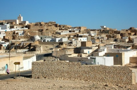
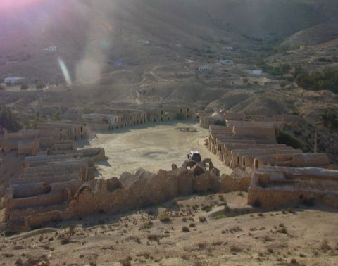
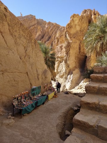
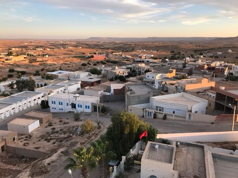
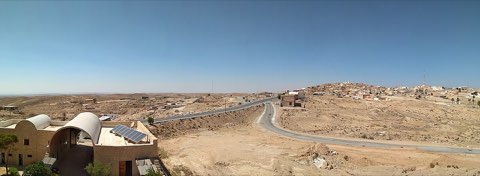
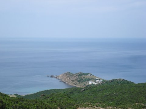
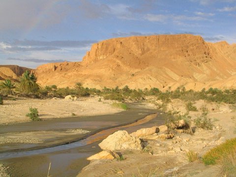
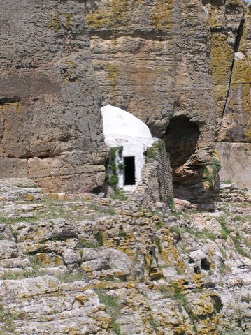
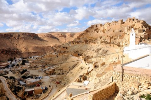
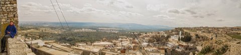
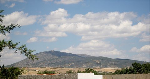
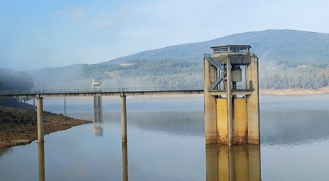
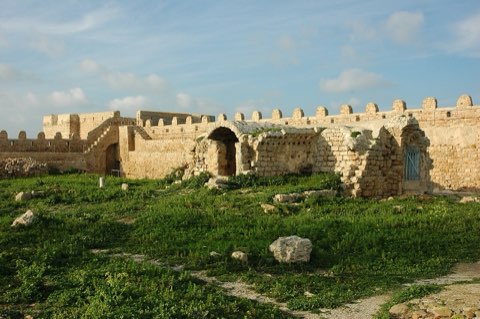
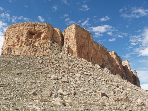
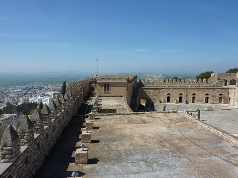
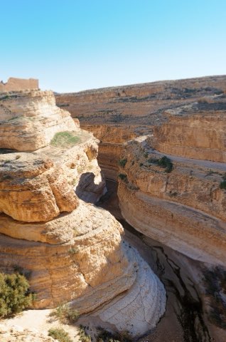
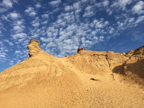
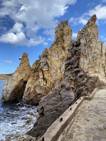
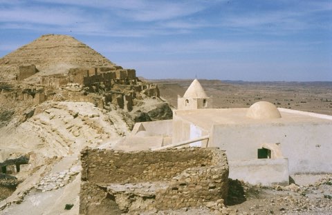
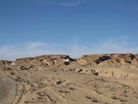
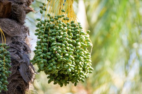
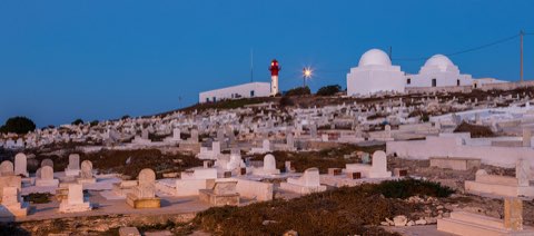
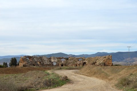
Photos: Amirmogaadi (CC BY-SA 4.0), Rahma026 (CC BY-SA 4.0), Skander zarrad (CC BY-SA 4.0)
Start point
- Car
- Djerba is linked to the mainland by the El Kantara causeway and the Ajim-Jorf ferry; the tourist zone lies on the east coast beyond Midoun.
- Louage
- Louage from Tunis Moncef Bey station to Houmt Souk (verify locally), then taxi.
- Bus / train
- Flights to Djerba-Zarzis airport; SNTRI buses from Tunis to Houmt Souk.
Nearby
The trail
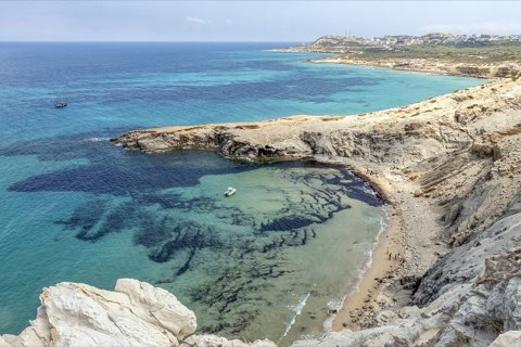
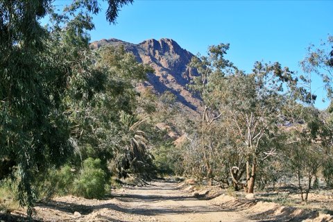
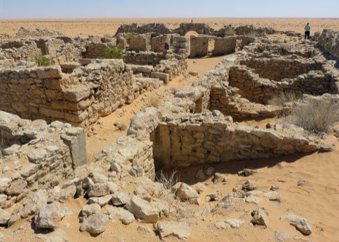
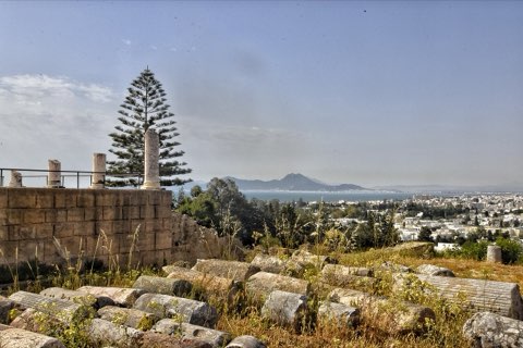
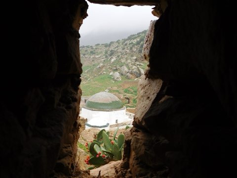
A flat road-bike loop across Djerba from the east-coast hotel strip through Midoun to the potters of Guellala and the street-art village of Erriadh.
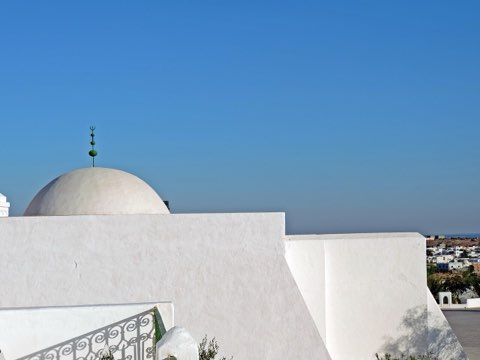
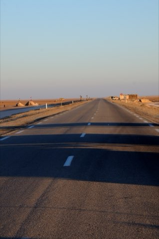
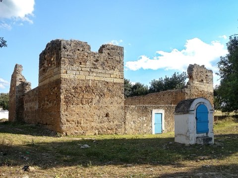
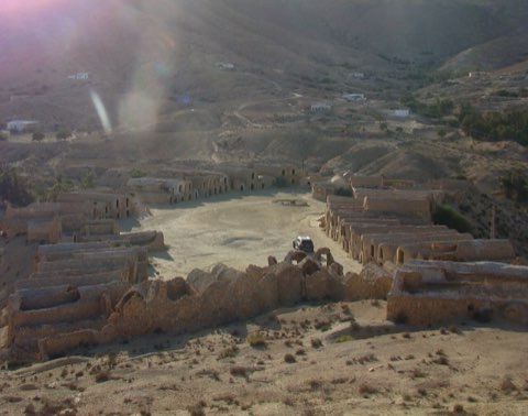
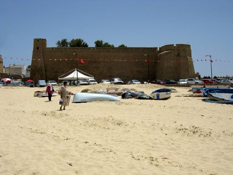
Djerba is almost flat, and its network of quiet roads between olive groves, palms and whitewashed houses makes it one of the easiest places in Tunisia to ride. This loop starts on the east-coast hotel zone near Midoun, crosses the island's market town, and heads south-west to Guellala, the village of potters whose workshops and kilns have supplied the island with jars for centuries. From there it turns north to Erriadh, the old Jewish quarter of Hara Seghira, whose lanes were covered in murals by international artists in the Djerbahood project, before returning east to the coast. A recorded road-bike ride of this loop measured 66.8 km with only about 220 m of climbing in total. Any road or hybrid bike will do, and rentals are easy to find in the hotel zone and Houmt Souk.
- Pottery workshops and museum at Guellala
- Djerbahood street art in Erriadh
- Midoun market town
- Quiet roads through olive groves and menzels
Weather and season
- SEASON
- Mar-May and Oct-Nov; avoid Jul-Aug heat
| Month | Average high | Average low | Rainfall |
|---|---|---|---|
| January | 16.5 C | 10.5 C | 9 mm |
| February | 17.1 C | 10.6 C | 21 mm |
| March | 19.8 C | 12.7 C | 20 mm |
| April | 22.3 C | 15.3 C | 10 mm |
| May | 25 C | 18.3 C | 4 mm |
| June | 28.5 C | 21.5 C | 1 mm |
| July | 31.3 C | 24.2 C | 0 mm |
| August | 31.8 C | 25.3 C | 1 mm |
| September | 30.2 C | 24.4 C | 8 mm |
| October | 26.8 C | 21 C | 19 mm |
| November | 21.8 C | 16.3 C | 28 mm |
| December | 17.5 C | 12.4 C | 20 mm |
Monthly normals 2011-2020 at the start point, from Open-Meteo (CC BY 4.0). Shaded months are the season this trail is listed for.
Practical
- Water
- Cafes and shops in Midoun, Guellala and Erriadh.
- Guide
- not needed
- Hazards
- Traffic around Midoun and the hotel zone; strong sun and wind with little shade; sand on road edges.
- Route
- Approximate line along mapped paths between verified waypoints. Follow a guide or a GPS track on the ground.
Go with a guide
These operators and clubs organise guided hikes in Tunisia:
- WildyNessTunisian booking platform for guided hikes with local guides (Cap Blanc, Mides, Selja, Dahar, El Haouaria), several with GPS downloads.
- Association Tunisienne des RandonneursHiking association in Tunis that runs and writes up group hikes across the country.
- Mosaic North AfricaTour operator offering custom hiking trips, including the Chebika, Tamerza and Mides oases.
- Destination DaharPublishes the official topoguide (12 stages, 194 km) of the Grande Traversee du Dahar.
- Grand Sahara AventuresDjerba-based operator running Berber village and desert treks in the south.
- Destination TunisTunis-based guide publishing and leading day hikes around Tunis and Cap Bon.