
National park / Ben Arous
Boukornine National Park
National park
Ben Arous
- Area
- 19.39KM2
- Protected
- 1987
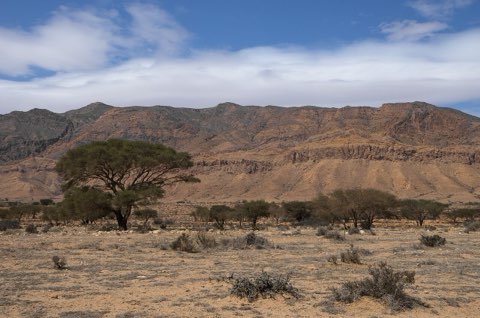
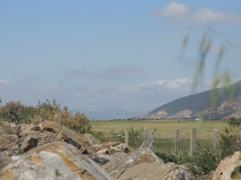
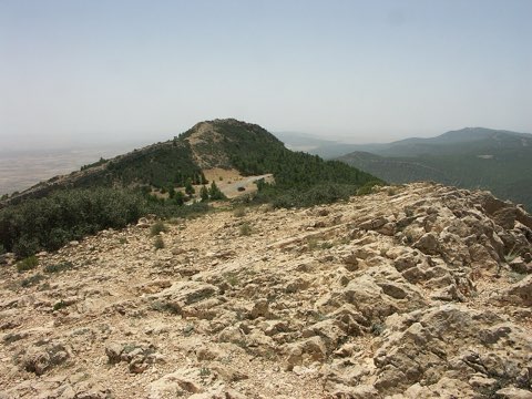
The twin-horned mountain above Hammam Lif, half an hour from Tunis, protected for a Mediterranean flora that includes plants found nowhere else in North Africa. Paths climb through pine and carob to the 576 m summit and a wide view over the Gulf of Tunis.
Rules
A PERMIT IS NEEDED TO VISIT
- PERMIT
- Entry to a Tunisian national park is arranged through the Direction Generale des Forets; a written request to the DGF or the regional forestry commissariat is normally answered in three to five working days. Day walkers on the main path from Hammam Lif are generally admitted at the gate.
- GUIDE
- Not required; the summit path is waymarked and takes two to three hours there and back.
- SEASON
- Best from October to May. The forest is closed or restricted on high fire-risk days in summer.
- RULES
- No fires and no flower picking; the cyclamen and orchids are protected. Keep to the paths.
Good to know
- Habitat
- Mediterranean forest and maquis of Aleppo pine, carob, juniper and cypress on limestone
- Wildlife
- Around 25 mammals including wild boar, jackal, wildcat and porcupine, plus the Etruscan shrew; over 200 plant species, among them the Persian cyclamen
- Summit
- Jebel Boukornine, 576 m, with a view over Tunis and Cap Bon
- Getting there
- Above Hammam Lif, about 15 km southeast of Tunis
Places inside
Photographs
Sources
Photos: Selma Jmii (CC BY-SA 4.0), Touzrimounir (CC BY-SA 4.0)
- OpenStreetMap relation 21196015
- Wikipedia: Boukornine National Park
- WildyNess: national parks of Tunisia
- Boundary from OpenStreetMap contributors (ODbL).