Testour to the Sidi Salem Dam
- Hike
- Distance
- 15.3km
- Duration
- 6.5HRS
- Ascent
- 363M
Listed 15.3 km / drawn track 11 km
Elevation profile
61-117 M / TERRAIN TILES SAMPLED ALONG THE TRACK
Photographs
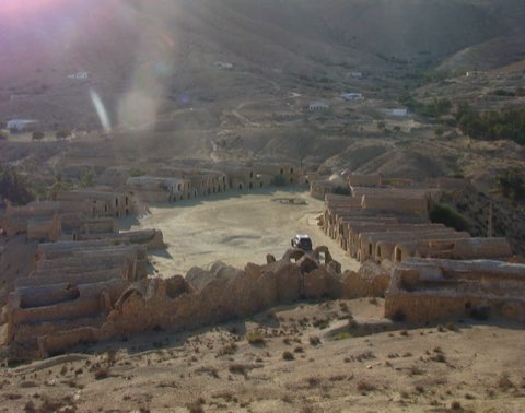
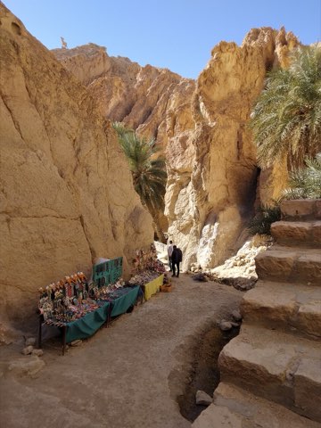
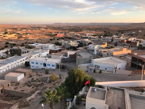
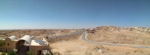
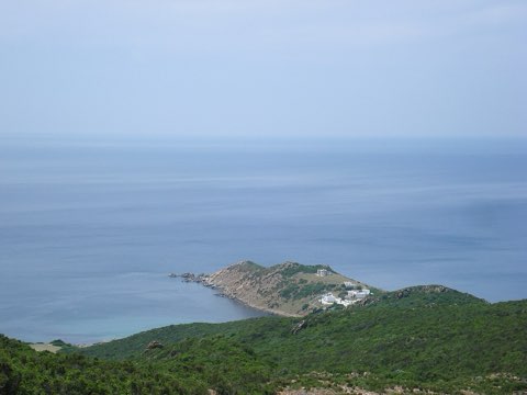
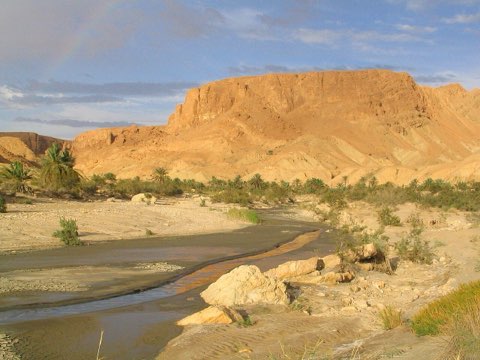
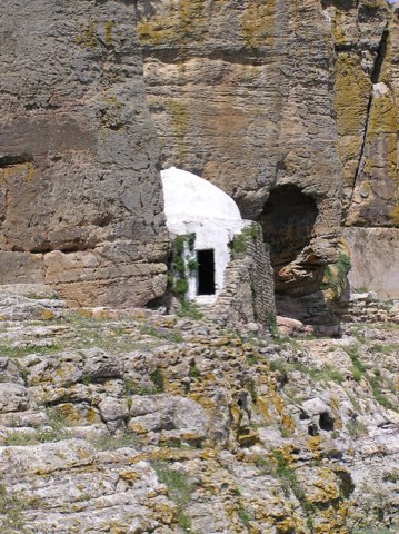
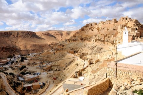
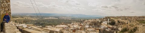
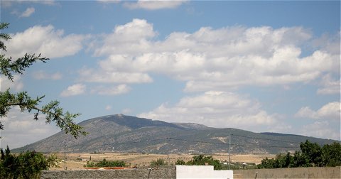
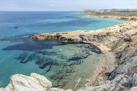
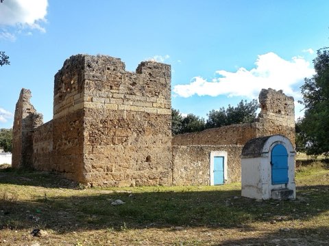
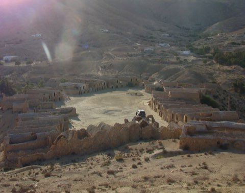
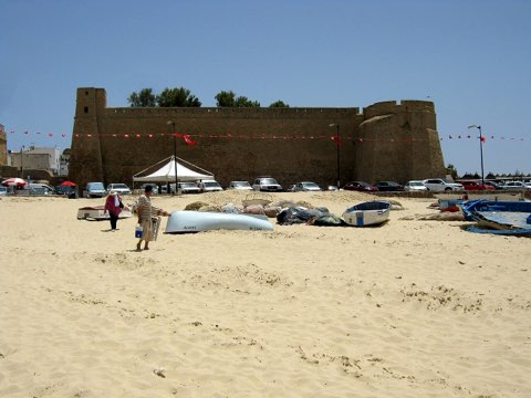
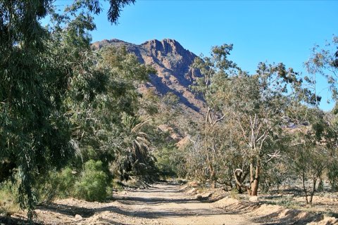
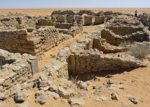
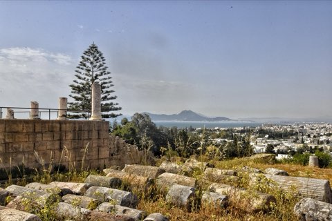
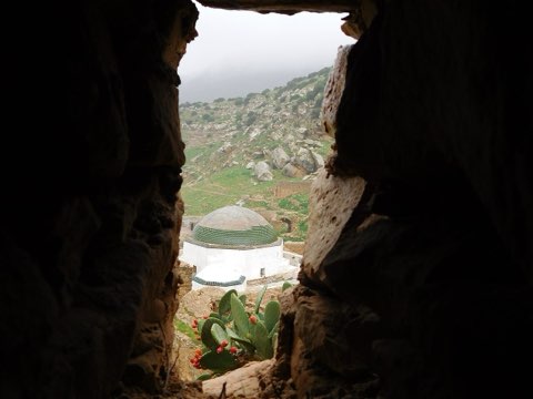
Photos: Smailtn (CC0), IssamBarhoumi (CC BY-SA 4.0), By Me pmgforever (CC BY 2.5)
Start point
- Car
- About 1 h 15 from Tunis via Medjez el Bab.
- Louage
- Louage from Tunis Bab Saadoun to Testour (verify locally).
Nearby
The trail
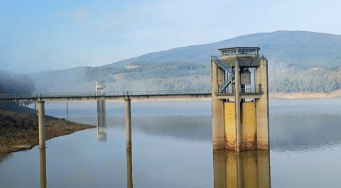
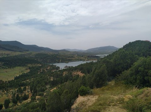
From the Andalusian town of Testour along the Medjerda hills to the banks of Sidi Salem, the largest reservoir in Tunisia.
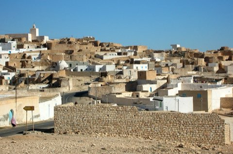
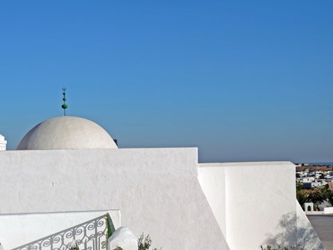
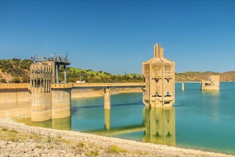
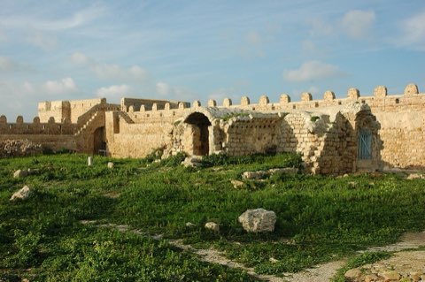
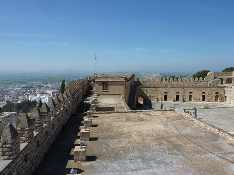
Testour was founded in the early 17th century by Andalusian Moriscos expelled from Spain, and its Great Mosque still has a minaret clock whose hands turn backwards. The walk leaves the town north-west over the farmland and hills of the Medjerda valley to the shores of the Sidi Salem reservoir and its dam, the biggest body of fresh water in the country.
- Andalusian town of Testour
- Great Mosque with its backward clock
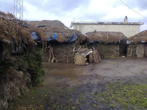
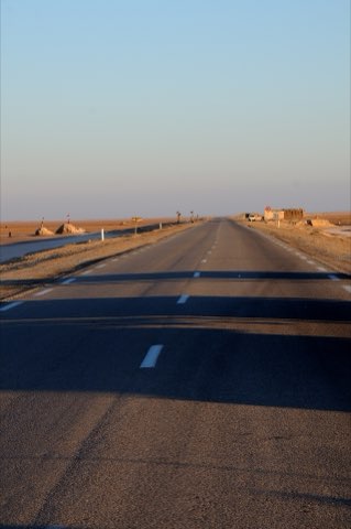
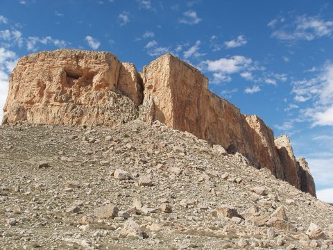
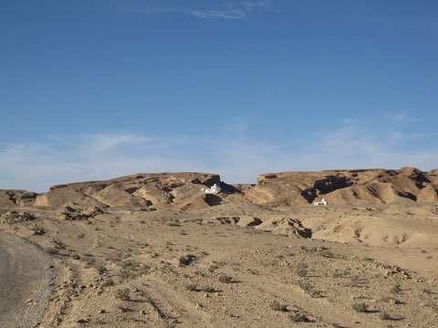
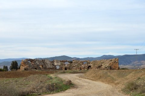
- Hills of the Medjerda valley
- Sidi Salem reservoir and dam
Weather and season
- SEASON
- October to May
| Month | Average high | Average low | Rainfall |
|---|---|---|---|
| January | 15 C | 6.2 C | 40 mm |
| February | 15.4 C | 6 C | 46 mm |
| March | 18 C | 7.9 C | 63 mm |
| April | 22.6 C | 10.5 C | 39 mm |
| May | 26.5 C | 13.7 C | 36 mm |
| June | 32.6 C | 18 C | 13 mm |
| July | 36.1 C | 21 C | 3 mm |
| August | 35.8 C | 21.4 C | 12 mm |
| September | 30.8 C | 19.2 C | 30 mm |
| October | 26.5 C | 15.6 C | 42 mm |
| November | 20.4 C | 11.2 C | 44 mm |
| December | 16.1 C | 7.7 C | 43 mm |
Monthly normals 2011-2020 at the start point, from Open-Meteo (CC BY 4.0). Shaded months are the season this trail is listed for.
Practical
- Water
- Shops in Testour; none on the way.
- Guide
- not needed
- Hazards
- Farm dogs; mud after rain; do not swim in the reservoir.
- Route
- Approximate line along mapped paths between verified waypoints. Follow a guide or a GPS track on the ground.
Go with a guide
These operators and clubs organise guided hikes in Tunisia:
- WildyNessTunisian booking platform for guided hikes with local guides (Cap Blanc, Mides, Selja, Dahar, El Haouaria), several with GPS downloads.
- Association Tunisienne des RandonneursHiking association in Tunis that runs and writes up group hikes across the country.
- Mosaic North AfricaTour operator offering custom hiking trips, including the Chebika, Tamerza and Mides oases.
- Destination DaharPublishes the official topoguide (12 stages, 194 km) of the Grande Traversee du Dahar.
- Grand Sahara AventuresDjerba-based operator running Berber village and desert treks in the south.
- Destination TunisTunis-based guide publishing and leading day hikes around Tunis and Cap Bon.