Jebel Tembaine in the Grand Erg
- Hike
- Distance
- 0.4km
- Duration
- 1.5HRS
- Ascent
- 24M
Elevation profile
222-246 M / TERRAIN TILES SAMPLED ALONG THE TRACK
Photographs
Photos: Ena Tounes (CC BY 2.0), Amel Belkhodja (CC BY-SA 4.0)
Start point
- Car
- Only by 4x4 with a guide, from Douz or Ksar Ghilane.
Nearby
The trail
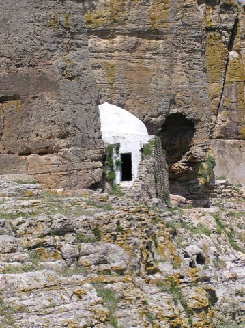
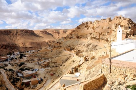
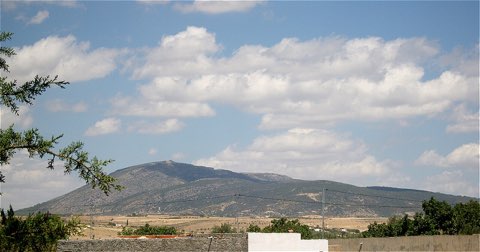
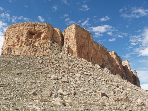
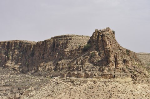
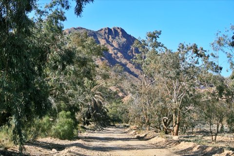
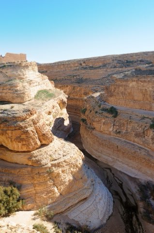
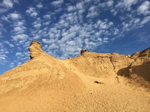
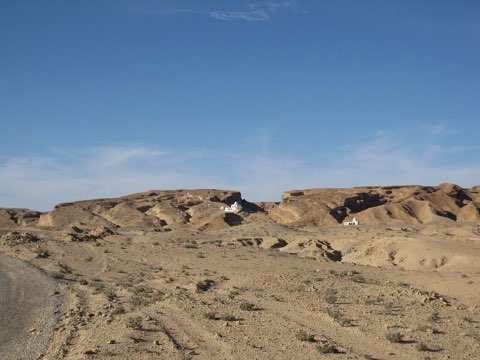
A climb onto Tembaine, the lone rock that rises out of the dune sea of the Grand Erg Oriental, reached on a 4x4 or camel expedition.
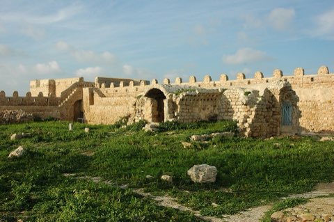
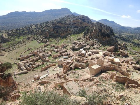
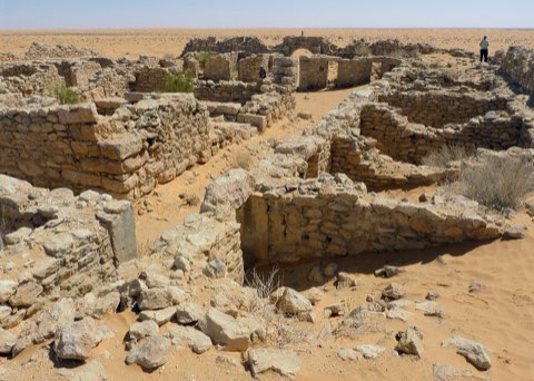
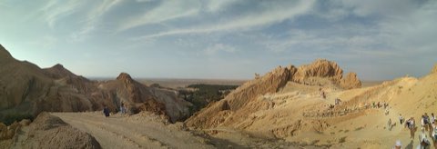
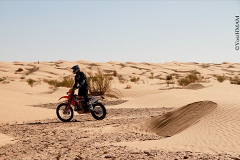
Tembaine is a rock outcrop standing alone in the dunes of the Grand Erg Oriental, south of Douz, and a classic goal of desert trips from Douz and Ksar Ghilane. From the camp at its foot a short climb reaches the top, from where the dunes run to every horizon. Getting there is the real expedition: a day of 4x4 or several days on foot with camels, always with a guide and a GPS.
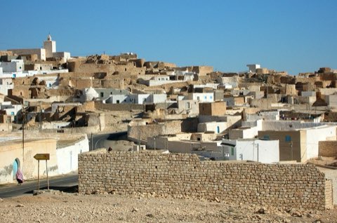
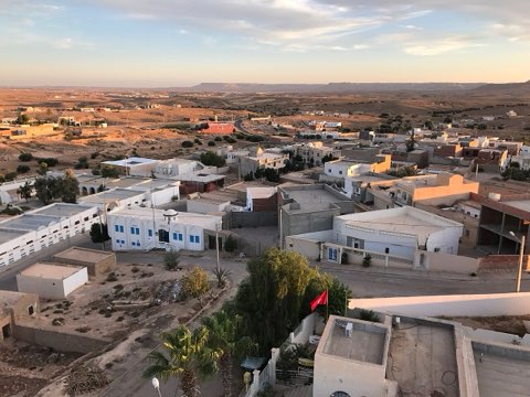
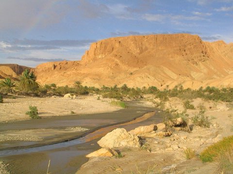
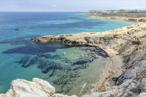
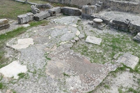
- Lone rock in the Grand Erg
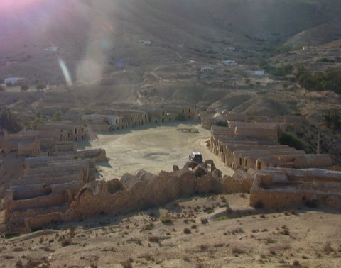
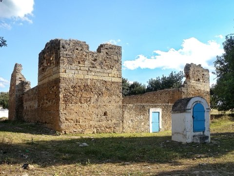
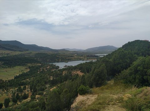
- View over the dune sea
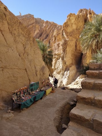
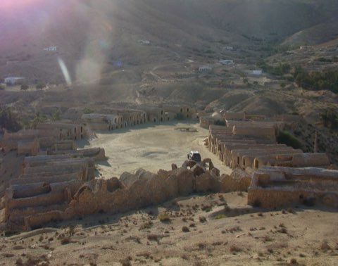
- Desert camp at its foot
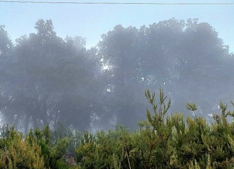
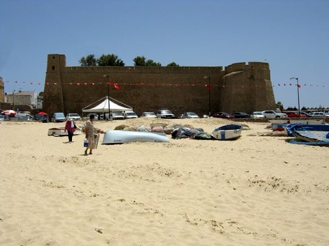
- Night sky
Weather and season
- SEASON
- November to March
| Month | Average high | Average low | Rainfall |
|---|---|---|---|
| January | 15.8 C | 4.9 C | 3 mm |
| February | 17.5 C | 6.2 C | 7 mm |
| March | 21.8 C | 9.7 C | 12 mm |
| April | 27.8 C | 14.4 C | 7 mm |
| May | 31.7 C | 18.3 C | 3 mm |
| June | 36.1 C | 22.2 C | 1 mm |
| July | 38.9 C | 24.7 C | 0 mm |
| August | 37.9 C | 24.5 C | 1 mm |
| September | 34.9 C | 22.6 C | 3 mm |
| October | 28.8 C | 17.4 C | 5 mm |
| November | 21.6 C | 11.1 C | 12 mm |
| December | 16.4 C | 6.4 C | 7 mm |
Monthly normals 2011-2020 at the start point, from Open-Meteo (CC BY 4.0). Shaded months are the season this trail is listed for.
Practical
- Water
- Carry all water; none in the erg.
- Guide
- required
- Permits
- Go with a licensed operator, who arranges any authorisation needed for the deep desert.
- Hazards
- Heat, sandstorms, isolation; never go without a guide.
- Route
- Approximate line along mapped paths between verified waypoints. Follow a guide or a GPS track on the ground.
Go with a guide
These operators and clubs organise guided hikes in Tunisia:
- WildyNessTunisian booking platform for guided hikes with local guides (Cap Blanc, Mides, Selja, Dahar, El Haouaria), several with GPS downloads.
- Association Tunisienne des RandonneursHiking association in Tunis that runs and writes up group hikes across the country.
- Mosaic North AfricaTour operator offering custom hiking trips, including the Chebika, Tamerza and Mides oases.
- Destination DaharPublishes the official topoguide (12 stages, 194 km) of the Grande Traversee du Dahar.
- Grand Sahara AventuresDjerba-based operator running Berber village and desert treks in the south.
- Destination TunisTunis-based guide publishing and leading day hikes around Tunis and Cap Bon.